



Evolution of Surveying Equipment and Software
Surveying equipment and software have significantly transformed the field.
Traditional tools included the compass and theodolite.
Modern technologies, such as GPS and LiDAR, have revolutionized surveying practices.
These advancements support construction, mining, agriculture, and urban planning.
Furthermore, modern technologies improve accuracy and efficiency across surveying projects.
Consequently, projects can achieve greater precision while remaining within budget.
Historical Advancements in Surveying Equipment
Surveying began with simple tools that supported basic direction, distance, and angle measurements.
However, those tools limited measurement accuracy and data collection.
As technology progressed, electronic devices improved surveying precision and efficiency.
Traditional Tools in Surveying
Surveyors relied on several traditional instruments for essential field measurements.
These instruments supported direction finding, distance measurement, and angle determination.
Although effective for their time, traditional tools presented limitations.
- Surveyors used compasses to determine direction and angles.
- Chains helped surveyors measure distances between points.
- Theodolites measured vertical and horizontal angles.
Electronic Developments in Surveying
Electronic devices transformed traditional surveying methods.
Consequently, surveyors gained more efficient ways to collect accurate measurements.
GPS technology, laser scanning, and remote sensing expanded surveying capabilities.
- GPS technology supports precise positioning on Earth’s surface.
- Laser scanning creates detailed three-dimensional images for accurate measurements.
- Remote sensing uses satellites to collect surface data from a distance.
These advancements improved measurement accuracy and accelerated survey completion.
They also increased productivity and cost-effectiveness for surveying projects.
Electronic integration continues to drive innovation throughout the surveying industry.
Modern Surveying Equipment
Modern surveying equipment uses advanced technology to improve accuracy, efficiency, and productivity.
These tools help professionals collect precise information across diverse surveying applications.
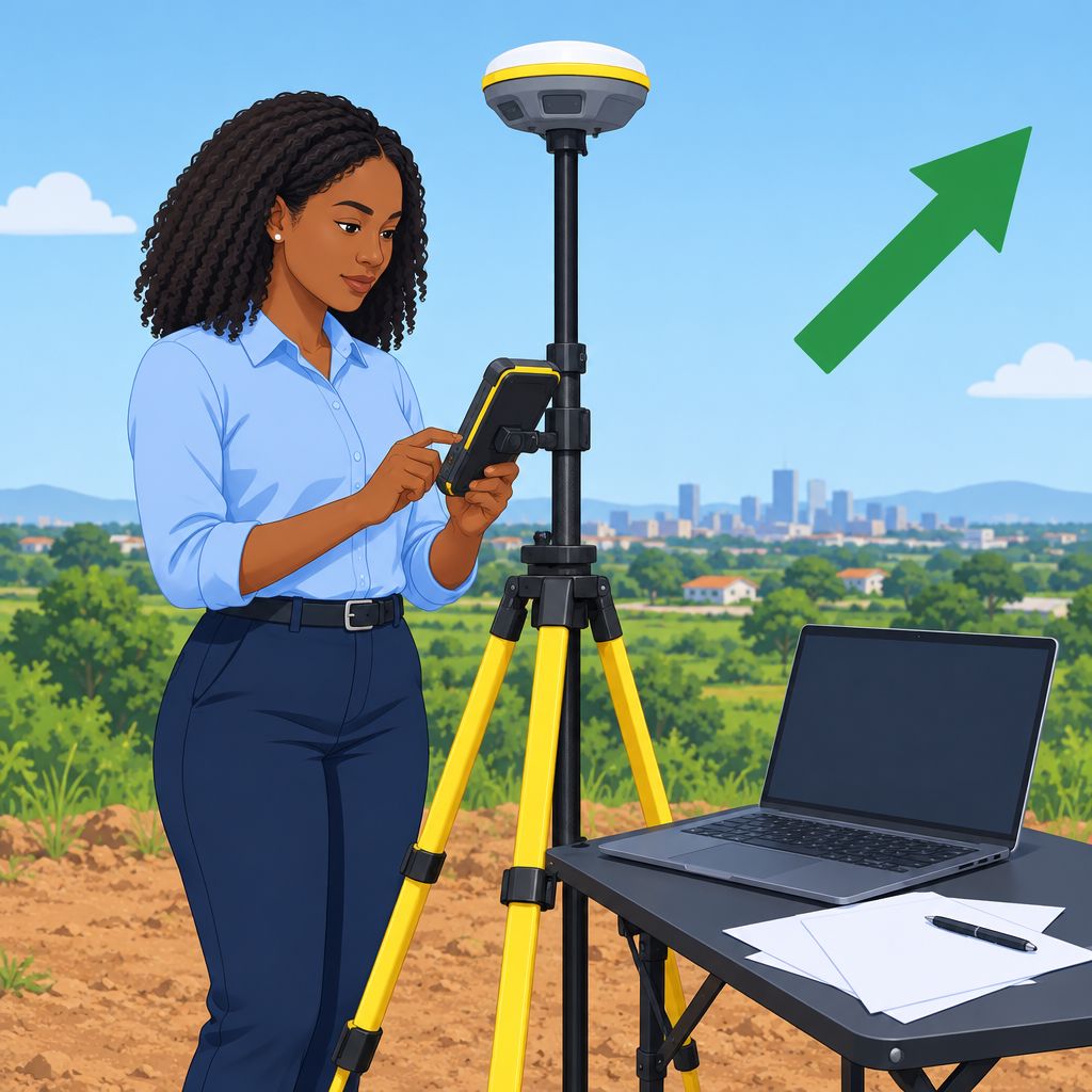
Key examples include GPS receivers, total stations, and aerial drones.
GPS Receivers
GPS receivers provide accurate positioning data through satellites orbiting Earth.
They use trilateration techniques to determine precise coordinates.
Consequently, surveyors can map boundaries, routes, and topographical features accurately.
Total Stations
Total stations combine electronic theodolites with distance measurement capabilities.
These instruments measure angles, distances, and elevations with high precision.
Additionally, surveyors can capture data points and generate detailed maps or three-dimensional models.
Aerial Drones
Aerial drones collect imagery and LiDAR data across large areas.
They acquire surveying information faster than traditional methods.
Therefore, professionals use drones for mapping, construction monitoring, and land surveying.
Applications of Modern Surveying Tools
The integration of these tools has changed how professionals conduct surveys.
Modern equipment improves surveying accuracy and operational efficiency.
Furthermore, these technologies support urban planning, environmental management, and infrastructure development.
Gain More Insights: Combining Mechatronics with Other Disciplines
Role of Software in Surveying
Technology has made software an essential tool in surveying.
Software programs have changed how surveyors plan, execute, and manage projects.
These changes have improved efficiency, accuracy, and project outcomes.
Software Programs in Surveying
- Surveyors use AutoCAD in surveying applications.
- Surveyors also use GIS in surveying applications.
- BIM supports surveying project planning, execution, and management.
Software-Based Data Management
- Surveying software helps professionals manage large amounts of collected data.
- These programs store and organize survey data efficiently.
- Surveyors can access organized data easily, improving productivity and accuracy.
Software-Based Data Analysis
- Surveying software supports detailed analysis of collected data.
- Analysis provides valuable insights and identifies trends.
- Surveyors perform complex calculations and simulations to optimize project outcomes.
Software-Based Data Visualization
- Software programs help surveyors create detailed maps.
- They also support detailed models and reports.
- Visual data representations improve understanding and communication of surveying results.
Software’s Impact on Surveying Projects
Software improves data management, analysis, and visualization in surveying projects.
It helps surveyors work more efficiently and accurately.
As a result, software supports improved outcomes across surveying projects.
Transform Your Career with Expert Guidance
Get personalized mentorship consulting that’s tailored to your unique path. Our expert advice is actionable and exclusive.
Get StartedGain More Insights: Geoinformatics: Transforming Land Surveying in Nigeria
Advancements in Surveying Software
Surveying software has advanced significantly through artificial intelligence and machine learning technologies.
These technologies help software analyze data efficiently and produce accurate measurements quickly.
Consequently, surveyors can make faster decisions and achieve more precise project results.
- AI and machine learning enable surveying software to analyze data and provide accurate measurements efficiently.
- Cloud-based solutions allow surveyors to collaborate in real time and share data instantly.
Furthermore, cloud storage lets teams access information from anywhere and work together seamlessly.
These advancements improve surveying accuracy, efficiency, collaboration, and project management.
Find Out More: Public Spaces in Nigeria: Design and Architecture
Benefits of Advancements in Surveying Technology
Recent improvements in surveying equipment and software have transformed land surveying practices.
These developments help surveyors collect dependable information while managing projects more effectively.
Consequently, modern technology improves measurement quality, workplace productivity, and operational safety.
- Improved accuracy and precision in measurements
- Increased efficiency and productivity in surveying projects
- Enhanced safety for surveyors working in challenging environments
Improved Accuracy and Precision in Measurements
Modern equipment enables surveyors to obtain highly accurate measurements.
Furthermore, specialized software helps professionals organize and examine detailed measurement data.
This precision supports reliable results and improves the quality of surveying projects.
Increased Efficiency and Productivity in Surveying Projects
Advanced equipment streamlines surveying tasks and helps professionals complete projects more efficiently.
Meanwhile, software supports organized workflows and reduces the time required for data handling.
As a result, surveyors can manage their workloads effectively and improve overall productivity.
Enhanced Safety in Challenging Environments
Modern surveying technology supports professionals working in difficult terrain and hazardous areas.
Additionally, durable equipment helps surveyors operate more safely under challenging conditions.
These improvements reduce risks and help projects proceed without major setbacks.
Together, accuracy, efficiency, and safety improvements strengthen the capabilities of surveying professionals.
Technology will continue to enhance how surveyors complete projects and manage collected information.
Delve into the Subject: Architecture Awards and Recognitions in Nigeria
Practical Effects of Surveying Technology
Advancements in surveying equipment and software have revolutionized how professionals gather and analyze data.
New technologies allow faster data collection and processing, leading to quicker project completion.
Precise GPS systems and high-tech tools ensure more accurate measurements, reducing the margin of error.
Visualization, Remote Access, and Cost Control
Software now offers 3D modeling and mapping capabilities, making data easier to interpret visually.
Drones and satellite imaging enable remote surveying of hard-to-reach or dangerous areas with ease.
By streamlining processes and reducing manual labor, advanced equipment and software ultimately save costs.
Professional Readiness in a Changing Field
Professionals who embrace new surveying technologies gain a competitive advantage in the industry.
Surveying professionals must stay relevant and competitive as equipment and software continue to advance.
Therefore, they should continuously update and upgrade their skills.
They can then harness the full potential of technological breakthroughs in surveying.
Additional Resources
Google search results for Advancements in Surveying Equipment and Software Engineering
Bing search results for Advancements in Surveying Equipment and Software Engineering


