



Introduction
Geospatial data provides valuable location-based information.
Organizations collect and analyze this information for practical decisions.
Furthermore, geospatial data supports informed decisions across many fields.
Definition of Geospatial Data
Geospatial data describes geographical locations on Earth.
It also records characteristics and attributes of natural features.
Additionally, it represents constructed features and their locations.
Importance of Geospatial Data
Geospatial data supports important work in several fields.
For example, professionals use it in urban planning and disaster management.
It also strengthens environmental conservation efforts.
Urban Planning
Geospatial data helps planners map cities accurately.
Moreover, it reveals population densities and infrastructure needs.
Planners then use this information to guide future developments.
Disaster Management
Authorities use geospatial data to predict natural disasters.
They also monitor events and assess resulting damage.
Consequently, officials can plan relief efforts more efficiently.
Environmental Conservation
Geospatial data helps experts monitor deforestation.
It also tracks wildlife habitats and supports resource management.
Furthermore, authorities use it to enforce environmental regulations.
By harnessing geospatial data, organizations can make informed decisions.
They can also optimize resources and improve effectiveness across various fields.
Methods for Collecting Geospatial Data
Organizations use various methods to collect geospatial data.
Each method offers specific advantages and limitations.
Therefore, collection teams select methods according to their data requirements.
- GPS: GPS provides accurate location information for mapping and analysis.
- Remote Sensing: Remote sensing collects data from satellites or aircraft.
- Drones: Drones capture high-resolution images and videos of difficult-to-reach locations.
Accuracy and Precision in Geospatial Data
Accuracy measures how closely collected data matches the true value.
Precision measures the consistency of repeated measurements.
Consequently, accurate and precise data supports reliable analysis and decision-making.
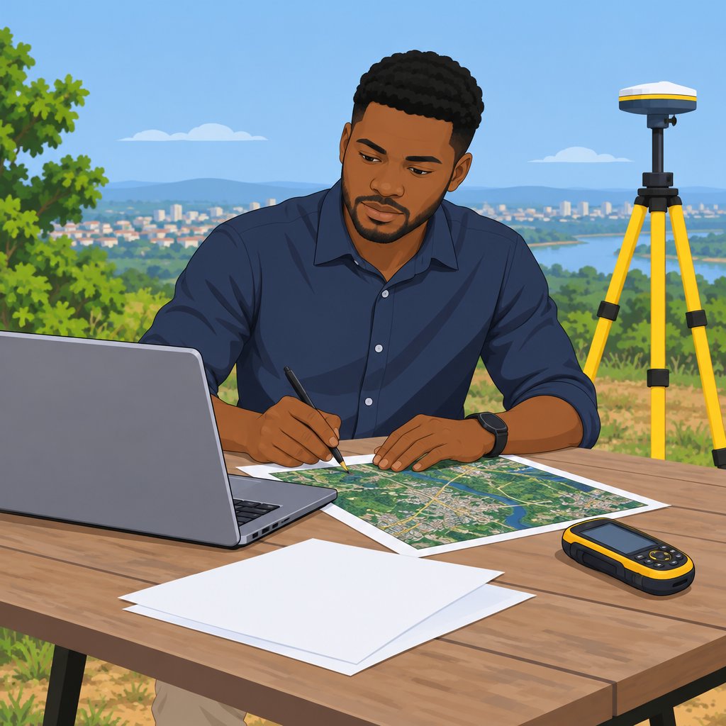
Challenges Affecting Geospatial Data Collection in Nigeria
Nigeria faces several challenges when collecting geospatial data.
Limited infrastructure and resources hinder efficient data collection.
Additionally, rural and remote locations may restrict access for collection activities.
- Infrastructure: Limited infrastructure and resources hinder efficient data collection processes.
- Access Restrictions: Rural or remote areas may limit access for data collection activities.
- Coordination: Weak coordination can create duplicated efforts and inconsistent data.
Geospatial data collection and analysis support applications such as urban planning and disaster response.
By addressing these challenges, Nigeria can use geospatial information for sustainable development and decision-making.
Analyzing Geospatial Data
Geospatial data analysis helps users examine location-based information through GIS software.
GIS software enables users to visualize, interpret, and analyze geographic data effectively.
Spatial analysis examines relationships between geographic features.
Therefore, it reveals patterns, trends, and relationships within datasets.
Predictive modeling uses statistical models to forecast future trends from historical data.
Consequently, these methods support informed decisions and planning.
Types of Geospatial Data Analysis
GIS software supports several analytical approaches.
Each approach examines geographic information from a different perspective.
Together, these methods reveal important relationships and patterns.
Transform Your Career with Expert Guidance
Get personalized mentorship consulting that’s tailored to your unique path. Our expert advice is actionable and exclusive.
Get Started- Spatial analysis examines relationships between geographic features.
- Predictive modeling forecasts future trends using historical data.
- Network analysis examines connectivity and movement between locations.
- Terrain analysis studies physical characteristics of land surfaces.
- Proximity analysis measures closeness between locations.
Each method answers different questions about geographic patterns.
Analysts can select an approach according to their planning needs.
Moreover, combining methods can provide broader insights from one dataset.
Applications of Geospatial Data Analysis in Nigeria
Nigeria uses geospatial analysis across several sectors.
Organizations apply these methods to guide planning and resource management.
These applications demonstrate how geographic information supports practical decisions.
- Agriculture uses geospatial analysis to optimize crop production and manage resources.
- Urban planning uses GIS software to analyze populations, land use, and infrastructure.
- Health care uses geospatial analysis to map outbreaks and identify high-risk areas.
- Environmental management monitors deforestation, land degradation, and natural resources.
- Disaster management assesses vulnerable areas and plans evacuation routes.
GIS software connects geographic information with practical planning needs.
Spatial, predictive, network, terrain, and proximity analyses provide different perspectives.
Together, these approaches can improve efficiency across the listed fields.
Learn More: Salary Expectations for Marine Engineers in Nigeria
Using Geospatial Data
- Geospatial data is crucial in improving agriculture in Nigeria.
- It helps farmers make informed decisions on crop selection.
- Moreover, monitoring deforestation remains another vital application of geospatial data.
- This technology allows real-time tracking of tree loss trends.
- Additionally, geospatial data simplifies infrastructure project mapping.
- It supports planning and management for roads, bridges, and other projects.
Addressing Social Issues
- Geospatial data plays a significant role in improving healthcare access.
- It helps identify areas with limited medical facilities.
- Furthermore, geospatial data addresses important education challenges.
- It helps determine where educational resources remain lacking.
Geospatial Data Success Stories
- The Nigerian Ministry of Agriculture successfully uses geospatial data.
- As a result, it has improved crop yields through data-driven strategies.
- NGOs like Doctors Without Borders also use geospatial data for healthcare.
- Consequently, they can target underserved communities more effectively.
- Government agencies like NIMC use geospatial data for national ID registration.
- This approach has streamlined registration and improved accuracy.
You Might Also Like: Essential Skills for Nigerian Biomedical Engineers
Challenges of Geospatial Data in Nigeria
Several barriers limit access to reliable geospatial data in Nigeria.
Limited resources can reduce the scope of data collection projects.
Furthermore, organizations need stronger technical skills and better data integration practices.
- Insufficient funding for geospatial data collection projects.
- Lack of accurate and up-to-date geospatial data sources.
- Inadequate technical expertise in geospatial data analysis.
- Challenges with integrating data from different sources.
Approaches to Improving Access to Quality Geospatial Data
Organizations can improve data access by investing in modern collection and analysis technologies.
Additionally, partnerships can support data sharing and strengthen local geospatial capabilities.
Quality control measures can also improve the reliability of geospatial information.
- Investing in modern technology for data collection and analysis.
- Establishing partnerships with international organizations for data sharing.
- Training local professionals in geospatial data management.
- Implementing data quality control measures at all levels.
Privacy and Security in Geospatial Data Management
Geospatial data collection and use require careful attention to privacy and security.
Organizations should protect information throughout collection, storage, transmission, and analysis.
Regular staff training and security reviews can help identify and address vulnerabilities.
- Ensuring compliance with data protection laws and regulations.
- Implementing secure data storage and transmission protocols.
- Providing training on data privacy best practices to all staff.
- Conducting regular security audits to identify and address vulnerabilities.
Capacity Building for Geospatial Data Analysis
Professionals need practical training to manage and analyze geospatial data effectively.
Hands-on learning can help participants develop confidence with data analysis tools.
Moreover, mentorship and continuous development can support long-term professional growth.
- Developing specialized training programs for geospatial data analysis.
- Creating opportunities for hands-on experience with data analysis tools.
- Establishing mentorship programs for aspiring geospatial data analysts.
- Encouraging continuous learning and professional development in the field.
Learn More: Latest Trends in Nigerian Automobile Engineering
Emerging Technologies in Geospatial Data
Artificial intelligence and machine learning are revolutionizing geospatial data collection and analysis.
These technologies improve accuracy and efficiency when organizations manage geographical information.
Furthermore, they support faster processing and more reliable results across geospatial activities.
- AI algorithms process vast amounts of geospatial data quickly and accurately.
- This technology automates feature extraction, object recognition, and pattern detection.
- Additionally, AI identifies errors and inconsistencies, which improves geographical dataset quality.
- Machine learning models predict future trends and patterns from historical geospatial data.
Potential Applications of Geospatial Data
Geospatial data supports practical planning and resource management across many fields.
Moreover, organizations can use this information to monitor changes and guide timely responses.
Its applications extend from urban development to environmental monitoring and essential services.
- Geospatial data supports smart cities by improving urban planning and resource allocation.
- It helps climate change adaptation strategies monitor environmental changes and predict natural disasters.
- Furthermore, agriculture, transportation, healthcare, and disaster response can use geospatial data.
Importance of Investing in Geospatial Data Infrastructure
Strong geospatial infrastructure helps organizations address future challenges across various sectors.
It also improves decision-making, resource management, and disaster preparedness.
Additionally, investment supports research, development, innovation, and economic growth in geospatial technologies.
- Investment in geospatial infrastructure helps address future challenges across various sectors.
- Robust infrastructure enables better decisions, resource management, and disaster preparedness.
- It fosters innovation and economic growth through geospatial research and development.
Future Directions for Geospatial Data
Artificial intelligence and machine learning will continue advancing geospatial data collection and analysis.
Meanwhile, applications in smart cities, climate adaptation, and multiple industries will expand.
Therefore, infrastructure investment and research remain essential for addressing future challenges effectively.
Uncover the Details: Latest Metallurgical Engineering Projects in Nigeria
Strategic Value of Geospatial Data in Nigeria
Geospatial data collection, analysis, and use support informed decision-making throughout Nigeria.
These activities provide valuable insights into several aspects of national development.
Moreover, geospatial information helps policymakers develop evidence-based strategies for sustainable development.
By using this information, Nigeria can plan and implement responses to important national issues.
Geospatial data also presents a comprehensive view of Nigeria’s landscape, resources, and infrastructure.
This perspective helps stakeholders optimize resources, mitigate risks, and strengthen development efforts.
Therefore, stakeholders should expand geospatial data exploration and use across relevant sectors.
Investment in technology, training, and collaboration can help Nigeria realize its full potential.
Consequently, geospatial data can improve decisions, address challenges, and support a sustainable future.
Stakeholders must recognize its value and collaborate for the country’s development.
Additional Resources
Google search results for Geospatial Data: Collecting, Analyzing, and Using Engineering
Bing search results for Geospatial Data: Collecting, Analyzing, and Using Engineering


