




Introduction
Biostratigraphy, remote sensing, and geochemical analysis are transforming geology research in Nigeria.
Research plays a crucial role in understanding Nigeria’s geological landscape and available resources.
Moreover, technological advances have revolutionized data collection, analysis, and interpretation in geology research.
History of Geology Research in Nigeria
Geology research in Nigeria has a rich history.
It dates back to the early twentieth century.
Significant advancements have emerged over the years.
Early Beginnings
- British geologists first explored Nigeria’s geological formations during the colonial era.
- Geological surveys and mapping programs established systematic research during the early 1900s.
- Albert Ernest Kitson and Gerald Stanley Sowden contributed significantly to understanding Nigeria’s geology.
Milestones and Achievements
- Geologists discovered oil in Oloibiri, Bayelsa State, in 1956.
- This discovery launched Nigeria’s oil industry and transformed the country’s economy.
- Since then, Nigerian geologists have explored and developed mineral resources nationwide.
Role of Nigerian Researchers and Institutions
- Nigerian researchers and institutions have advanced several areas of geology research.
- Universities such as the University of Ibadan and University of Lagos maintain strong geology departments.
- The Nigerian Geological Survey Agency and Department of Petroleum Resources promote geology research and development.
The research tradition reflects exploration, discovery, and innovation.
Nigerian researchers continue advancing the field of geology.
Their work supports development of the country’s natural resources.
Current Challenges in Geology Research in Nigeria
Geology research in Nigeria faces several challenges that slow progress and reduce research effectiveness.
These obstacles affect funding, equipment, infrastructure, data access, and policy support.
Researchers must address these constraints to improve the quality and quantity of geological research.
- Funding limitations: Funding limitations restrict researchers’ ability to begin or sustain promising projects.
- Lack of resources: Limited access to modern equipment and technology constrains the scope of geological studies.
- Infrastructure deficiency: Poor roads and inadequate laboratories make fieldwork and sample transport more difficult.
- Insufficient data: Researchers lack comprehensive geological data for accurate interpretations and predictions.
- Policy issues: Inadequate policies and regulations can delay fieldwork and limit research cooperation.
Consequently, researchers often struggle to secure funding for their projects.
These barriers can delay promising studies or cause researchers to abandon them.
Equipment shortages also reduce the quality of research and limit potential discoveries.
Furthermore, poor road networks make remote study areas difficult to reach.
Researchers may also struggle to transport equipment and geological samples from those locations.
Without sufficient geological data, researchers cannot make accurate interpretations or predictions.
This limitation reduces the practical influence of their findings.
Moreover, land ownership rules can create obstacles during fieldwork.
Environmental regulations may also complicate research activities in selected areas.
Data-sharing restrictions can prevent researchers from accessing critical geological information.
Addressing these challenges would strengthen geology research in Nigeria and support more reliable findings.
Learn More: Future Trends in Applied Chemistry in Nigeria
Technological Innovations in Geology Research
Remote sensing, GIS, and geophysical surveys support modern geology research in Nigeria.
These technologies improve geological data collection, analysis, and interpretation.
They also help researchers study geological features, resources, and environmental conditions more efficiently.
Remote Sensing Applications
- Remote sensing collects data from a distance using satellites or aircraft.
- It provides geologists with information about the Earth’s surface without physical contact.
- Furthermore, this technology supports mineral exploration, geological mapping, and environmental monitoring.
- It detects subtle surface changes that ground observations might not reveal.
- Consequently, remote sensing improves the efficiency and accuracy of geological surveys in Nigeria.
GIS for Geological Analysis
- GIS enables geologists to analyze, visualize, and interpret spatial data.
- It integrates geological maps, satellite imagery, and field data.
- In addition, GIS helps researchers identify potential areas for mineral exploration.
- Researchers use GIS to monitor geological hazards and manage natural resources.
- The technology streamlines data analysis and supports informed geological decisions.
- In Nigeria, GIS supports geological mapping, three-dimensional models, and environmental impact assessments.
Geophysical Survey Techniques
- Geophysical surveys measure subsurface physical properties to reveal underground structure and composition.
- Seismic, magnetic, and gravity surveys support geological research.
- These methods reveal the distribution of rocks, minerals, and fluids beneath the surface.
- They also help researchers locate mineral deposits and assess groundwater resources.
- Moreover, geophysical surveys support the study of tectonic processes.
- In Nigeria, these techniques improve geological mapping, resource exploration, and hazard assessment.
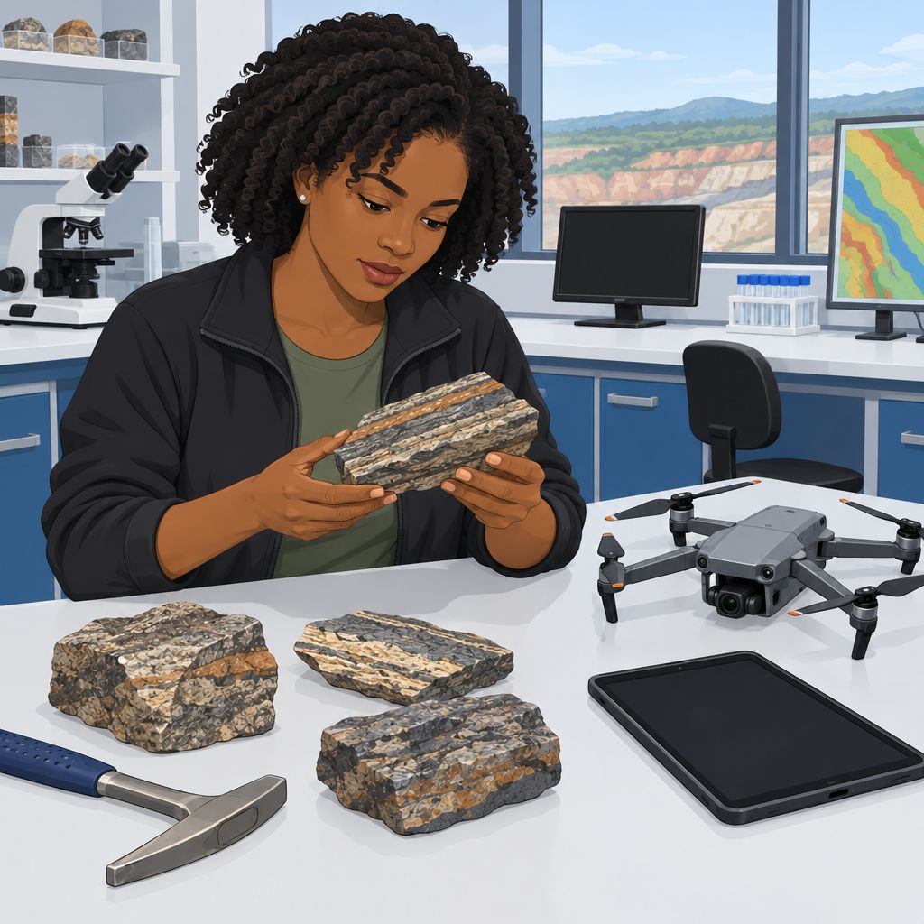
Benefits for Geological Research in Nigeria
These technologies have transformed how Nigerian geologists collect and interpret geological information.
They support more accurate and efficient studies of geological resources and hazards.
As these tools advance, Nigerian geologists can address geological challenges and opportunities more effectively.
Find Out More: Case Studies of Geophysical Surveys in Nigeria
Innovative Geology Research Projects in Nigeria
This collection presents innovative geology research projects conducted in Nigeria.
Each project examines geological processes, resources, or environmental conditions.
Together, these studies support improved knowledge, planning, and resource management.
Ongoing Seismic Mapping Project
Researchers use advanced technology to examine seismic activity across different regions of Nigeria.
The project records seismic movements using sensors deployed across the country.
Its results support better assessments of seismic risks and disaster preparedness.
- Seismic sensors monitor and record movements across different regions.
- The project identified previously unknown fault lines and possible earthquake-prone zones.
- Researchers use the findings to assess seismic risks and improve preparedness.
Exploration of Rare Earth Elements
This project investigates potential rare earth element deposits across Nigeria.
Researchers combine geochemical analysis with geophysical surveys to locate element concentrations.
The results could strengthen Nigeria’s mining industry and support economic development.
Transform Your Career with Expert Guidance
Get personalized mentorship consulting that’s tailored to your unique path. Our expert advice is actionable and exclusive.
Get Started- Geochemical analysis helps researchers identify rare earth element concentrations.
- Geophysical surveys support exploration for potential deposits across Nigeria.
- The discovered deposits could benefit mining activities and the national economy.
Groundwater Quality Assessment Study
This study evaluates groundwater quality in different parts of Nigeria.
Researchers collect water samples and analyze several quality parameters.
The findings emphasize the need to monitor and protect groundwater resources.
- Researchers collect groundwater samples from selected areas for laboratory analysis.
- Some areas showed high contamination levels during the assessment.
- The findings highlight the importance of effective groundwater management.
Remote Sensing for Geologic Mapping
This project applies remote sensing techniques to geological mapping in Nigeria.
Researchers analyze satellite imagery and aerial photographs to identify geological features.
The resulting maps support mineral exploration and environmental planning.
- Satellite imagery helps researchers examine geological features and formations.
- Aerial photographs improve the accuracy and efficiency of geological mapping.
- Detailed maps support mineral exploration and environmental planning activities.
These projects advance geological knowledge and understanding across Nigeria.
Researchers apply innovative methods to produce findings with practical value.
The results can inform policy, resource management, and environmental protection efforts.
See Related Content: Anthropology vs. Sociology: Differences and Overlaps in Nigeria
Importance of Collaboration in Geology Research
Collaboration connects researchers, institutions, and industry partners when they address complex geological questions.
It also combines resources, expertise, and knowledge for shared research goals.
Furthermore, partnerships unite diverse perspectives, methods, and data sources.
These connections encourage innovation, creativity, and cross-disciplinary research.
As a result, teams can improve research quality and accelerate geological discoveries.
Collaboration also supports technology transfer and stronger academic-industry relationships.
Successful Partnerships in Geology Research
In Nigeria, universities, government agencies, and oil companies have formed productive research partnerships.
These partnerships have supported mineral exploration, oil and gas studies, and geological mapping.
Industry partners have funded projects and provided access to field sites.
They have also supported training programs for geology students.
Meanwhile, international institutions have contributed through joint projects and knowledge exchange.
Shared datasets have helped researchers develop technologies and sustainable geoscience solutions.
Benefits of Sharing Knowledge in Geology Research
Researchers strengthen geology when they share knowledge, resources, and expertise.
Such sharing promotes collaboration, transparency, and open communication.
Additionally, researchers can exchange methods, best practices, and findings.
They can then build on existing work and avoid unnecessary duplication.
Shared databases, tools, and software can improve project efficiency.
Finally, knowledge sharing supports multidisciplinary and cross-sector partnerships.
These connections can drive innovation that benefits society, the economy, and the environment.
Discover More: Career Opportunities in Applied Botany in Nigeria
Future Directions for Geology Research in Nigeria
Recent geology research in Nigeria uses remote sensing, GIS mapping, and geophysical surveys to clarify the country’s geology.
These advances support detailed geological understanding and improve resource assessment.
Continued research and technological progress can support sustainable development.
Researchers can identify mineral resources and help mitigate geological hazards.
They can also support environmental protection through better geological information.
Furthermore, geology research can address land degradation, pollution, and climate change.
Investment in this field may promote economic growth through sustainable natural resource management.
Nigeria can unlock more of its geological potential by supporting further exploration and research.
Such support can contribute to progress across multiple sectors.
Effective coordination among researchers, government agencies, and industries can support sustainable development.
The future of geology research in Nigeria depends on sustained support, investment, and technological advancement.
Additional Resources
Google search results for Innovations in Geology Research in Nigeria Sciences
Bing search results for Innovations in Geology Research in Nigeria Sciences


