




Introduction
Geoinformatics, also known as Geographic Information Systems (GIS), helps revolutionize Nigerian agriculture through spatial data analysis.
It uses technology to gather, manage, and analyze geographical information.
This process supports informed agricultural decisions.
Definition of Geoinformatics
Geoinformatics integrates geographical data with other data sources.
This integration clarifies spatial relationships and patterns.
It uses software and technology to map, model, and analyze geospatial data.
Importance of Geoinformatics in Agriculture
Geoinformatics helps farmers make informed decisions through spatial data analysis.
It supports resource allocation, crop yield prediction, and disease control.
It also encourages sustainable land management practices.
Overview of the Agricultural Sector in Nigeria
Nigeria’s agricultural sector contributes significantly to the country’s economy.
It employs a large percentage of the population.
However, climate change, land degradation, and limited resources hinder its full potential.
Geoinformatics provides tools for improved planning, monitoring, and decision-making.
Benefits of Geoinformatics Applications in Nigerian Agriculture
Geoinformatics applications support Nigerian agriculture through spatial analysis and targeted resource management.
They help farmers evaluate conditions, plan operations, and improve production decisions.
Additionally, these tools support efficient farming while encouraging sustainable soil and water practices.
Improved Crop Yield and Production
- Geoinformatics helps farmers identify suitable cultivation areas using soil quality and climatic conditions.
- Furthermore, geospatial analysis guides crop selection and planting schedules for improved yields.
- Farmers can apply fertilizers and pesticides at varying rates to enhance crop productivity.
Precision Agriculture Techniques
- Remote sensing enables farmers to monitor crop health and detect diseases or pests promptly.
- Moreover, GPS-guided equipment supports precise planting, irrigation, and harvesting activities.
- Variable rate technology customizes input application according to specific crop requirements.
Enhanced Soil and Water Management
- Geoinformatics maps soil properties and identifies areas vulnerable to erosion or waterlogging.
- Consequently, farmers can target soil conservation measures and reduce environmental risks.
- Geospatial analysis guides efficient irrigation and supports water quality monitoring in lakes and rivers.
These applications help farmers increase productivity and manage agricultural resources more efficiently.
They also support sustainable practices within a rapidly changing agricultural environment.
Geoinformatics Tools for Nigerian Agriculture
Geoinformatics tools and technologies transform Nigerian agriculture.
They provide valuable insights and data-driven solutions for farmers and policymakers.
These technologies support informed decisions, efficient resource management, and agricultural development.
Geographic Information Systems
GIS allows users to collect, analyze, and visualize agricultural spatial data in Nigeria.
Farmers can map their farmland and identify different soil types.
They can also monitor crop growth and make informed irrigation decisions.
Additionally, GIS supports informed fertilization decisions across agricultural fields.
By integrating GIS, farmers can optimize crop yields and reduce waste.
Furthermore, the technology helps farmers manage resources more efficiently.
Policymakers can use GIS to develop strategic agricultural development plans.
They can also address climate change challenges and strengthen food security in Nigeria.
Remote Sensing for Agricultural Monitoring
Remote sensing collects data from satellite and aerial imagery.
This technology monitors land use, crop health, and environmental changes in Nigeria.
It also provides insights into vegetation dynamics and soil moisture levels.
Moreover, remote sensing can reveal potential disease outbreaks.
Farmers use remote sensing to detect crop stress and assess water availability.
They can identify areas with potential yield losses.
By analyzing this data, farmers can address pest infestations proactively.
They can also respond to drought conditions and soil degradation.
Consequently, remote sensing supports agricultural productivity and sustainability.
Global Positioning Systems in Precision Agriculture
GPS provides accurate location data for agricultural mapping, navigation, and monitoring.
Farmers use GPS devices to create detailed field maps.
Transform Your Career with Expert Guidance
Get personalized mentorship consulting that’s tailored to your unique path. Our expert advice is actionable and exclusive.
Get StartedThey can guide machinery operations and track crop performance in real time.
With GPS, farmers can optimize planting patterns and reduce operational overlap.
Furthermore, the technology improves efficiency in resource management.
GPS-enabled equipment helps farmers minimize input costs.
It also supports improved crop quality and overall farm productivity.
These capabilities make GPS valuable for precision agriculture in Nigeria.
Explore Further: Industry Collaboration in Nigerian Metallurgical Engineering
Case Studies of Geoinformatics Applications in Nigerian Agriculture
Geoinformatics maps farmland boundaries and identifies crop types across Nigerian agricultural areas.
Satellite imagery and GIS technology help experts delineate fields and classify cultivated crops.
This information supports land management, crop planning, and resource allocation.
Consequently, stakeholders can select crops, use resources efficiently, and improve agricultural practices.
Geoinformatics tools support continuous monitoring of crop health and growth.
Remote sensing provides indicators such as vegetation index, chlorophyll content, and water stress.
Researchers analyze these indicators to assess crop conditions and detect abnormalities.
Therefore, farmers can address nutrient deficiencies, pest infestations, and diseases promptly.
This monitoring approach supports proactive crop management and can improve yields and produce quality.
Geoinformatics helps researchers predict crop diseases and pest outbreaks.
They integrate satellite data, weather patterns, historical information, and machine learning algorithms.
These models anticipate disease and pest occurrences in specific regions and crops.
As a result, farmers can apply fungicides or pesticides at appropriate times.
They can also adopt resistant varieties, adjust planting schedules, or use crop rotation.
These measures can minimize crop losses and support sustainable agricultural practices.
Delve into the Subject: Top Universities for Land Surveying Studies in Nigeria
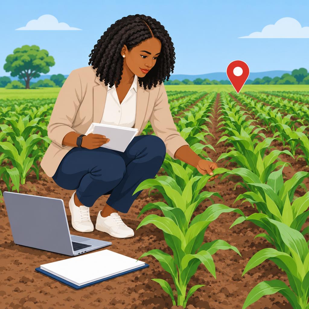
Lack of Skilled Professionals
Nigeria faces a shortage of professionals trained in geoinformatics.
- This shortage limits farmers’ ability to use geoinformatics effectively.
- It also restricts government agencies’ effective use of this technology.
Limited Access to Technology in Rural Areas
Rural areas in Nigeria often lack infrastructure that supports geoinformatics.
- Limited internet connectivity creates a major obstacle for rural users.
- Insufficient power supplies and computer access create additional challenges.
High Costs of Geoinformatics Solutions
Geoinformatics solutions often require substantial financial investment.
- Acquiring the necessary technology and software can be expensive.
- Many farmers and organizations cannot afford these solutions.
Collaborative Steps for Wider Access
Government, academic institutions, and private organizations must collaborate to address these limitations.
Such collaboration can support wider access to geoinformatics benefits across the agriculture sector.
This effort can help stakeholders use geoinformatics more effectively.
You Might Also Like: Internships for Automobile Engineering Students in Nigeria
Government Initiatives and Support for Geoinformatics in Nigerian Agriculture
- Funding for research and development
- Training programs for farmers and professionals
- Policies promoting geoinformatics tool adoption
Government support plays a crucial role in advancing geoinformatics within Nigerian agriculture.
Through several initiatives, the government promotes geospatial technologies that can improve agricultural productivity and sustainability.
The government provides funding to support geoinformatics research and development.
This support enables researchers to explore innovative technologies and solutions for Nigerian farmers.
As a result, researchers can develop approaches that support agricultural decision-making.
Additionally, the government organizes training programs for farmers and agricultural professionals.
These programs help participants develop skills for using geospatial technologies in farming practices.
Meanwhile, supportive policies encourage wider adoption of geoinformatics tools across Nigerian agriculture.
These policies create a regulatory environment that supports geospatial technology use.
Furthermore, government awareness efforts can encourage agricultural stakeholders to use these tools.
Government investment, training, and policy support can therefore strengthen geoinformatics integration in agriculture.
Delve into the Subject: Mechanical Engineering Graduate Programs in Nigeria
Geoinformatics Future in Nigerian Agriculture
Geoinformatics helps Nigerian agriculture by providing valuable insights for informed decision-making.
Therefore, investment and support can further improve agricultural efficiency and productivity.
Moreover, geoinformatics offers promising prospects for growth and innovation across Nigerian agriculture.
Consequently, stakeholders should actively support geoinformatics development within the agricultural industry.
Additional Resources
Google search results for Geoinformatics Applications in Nigerian Agriculture Engineering
Bing search results for Geoinformatics Applications in Nigerian Agriculture Engineering


