




Introduction to Geoinformatics
Geoinformatics acquires, analyzes, manages, and visualizes geographical data.
It supports environmental conservation by revealing patterns and guiding protection efforts.
Moreover, it helps stakeholders monitor and protect the planet.
Definition of Geoinformatics
Geoinformatics uses technology to study spatial data about Earth’s surface and resources.
It also examines how human activities affect environmental conditions.
Therefore, this field connects geographic information with practical environmental analysis.
Importance of Geoinformatics Across Fields
Geoinformatics supports urban planning, natural resource management, disaster response, agriculture, and climate change research.
In addition, it helps decision-makers use accurate, current information when selecting actions.
Consequently, organizations can develop plans that reflect environmental conditions and changing needs.
How Geoinformatics Works
Professionals collect geographic data from satellite imagery, GPS, and remote sensing technologies.
They then analyze these datasets with geographic information systems, commonly called GIS.
Finally, GIS produces maps, models, and simulations that reveal environmental patterns and trends.
These tools help stakeholders identify areas requiring protection and mitigate environmental risks.
They also support sustainable development plans that prioritize the planet’s well-being.
Mapping Environmental Resources
GIS maps forests, water bodies, and agricultural lands.
Environmental scientists use GIS to show resource distribution and condition.
These maps identify areas needing protection and conservation efforts.
Consequently, organizations can develop targeted sustainability strategies.
Monitoring Land Use Changes
Satellite imagery and remote sensing reveal land use changes over time.
Scientists track natural habitats converted into urban areas or agricultural lands.
This information helps policymakers understand human impacts on the environment.
Therefore, conservationists can devise measures to reduce negative effects.
Tracking Wildlife Migration Patterns
Researchers use geoinformatics to track wildlife migration patterns and study animal behavior.
GPS collars or tags help scientists monitor animal movements.
They also reveal factors influencing migration routes.
This evidence supports protected areas and corridors for safe wildlife passage.
Predicting Natural Disasters
Geoinformatics also helps scientists predict and mitigate natural disaster impacts.
They analyze weather patterns and topographic information to forecast hurricanes, floods, and wildfires.
Early warnings help authorities implement evacuation plans and deploy resources.
Authorities can use these warnings to reduce disaster damage.
Together, these applications support environmental conservation.
They help preserve ecosystems and biodiversity for future generations.
Case Studies of Geoinformatics in Environmental Conservation
These case studies show how geoinformatics supports environmental conservation.
Conservationists gather crucial data, track environmental changes, and guide protective actions.
Therefore, these tools help stakeholders make informed decisions to protect the planet.
Satellite Imagery for Monitoring Deforestation
Satellite imagery tracks changes in forest cover.
Conservationists use these observations to identify deforestation hotspots.
Consequently, they can take action in areas showing forest loss.
GIS Technology for Tracking Marine Pollution
GIS technology maps pollution sources in oceans and along coastlines.
These maps help conservationists examine where pollution occurs.
Transform Your Career with Expert Guidance
Get personalized mentorship consulting that’s tailored to your unique path. Our expert advice is actionable and exclusive.
Get StartedFurthermore, the information supports cleanup efforts.
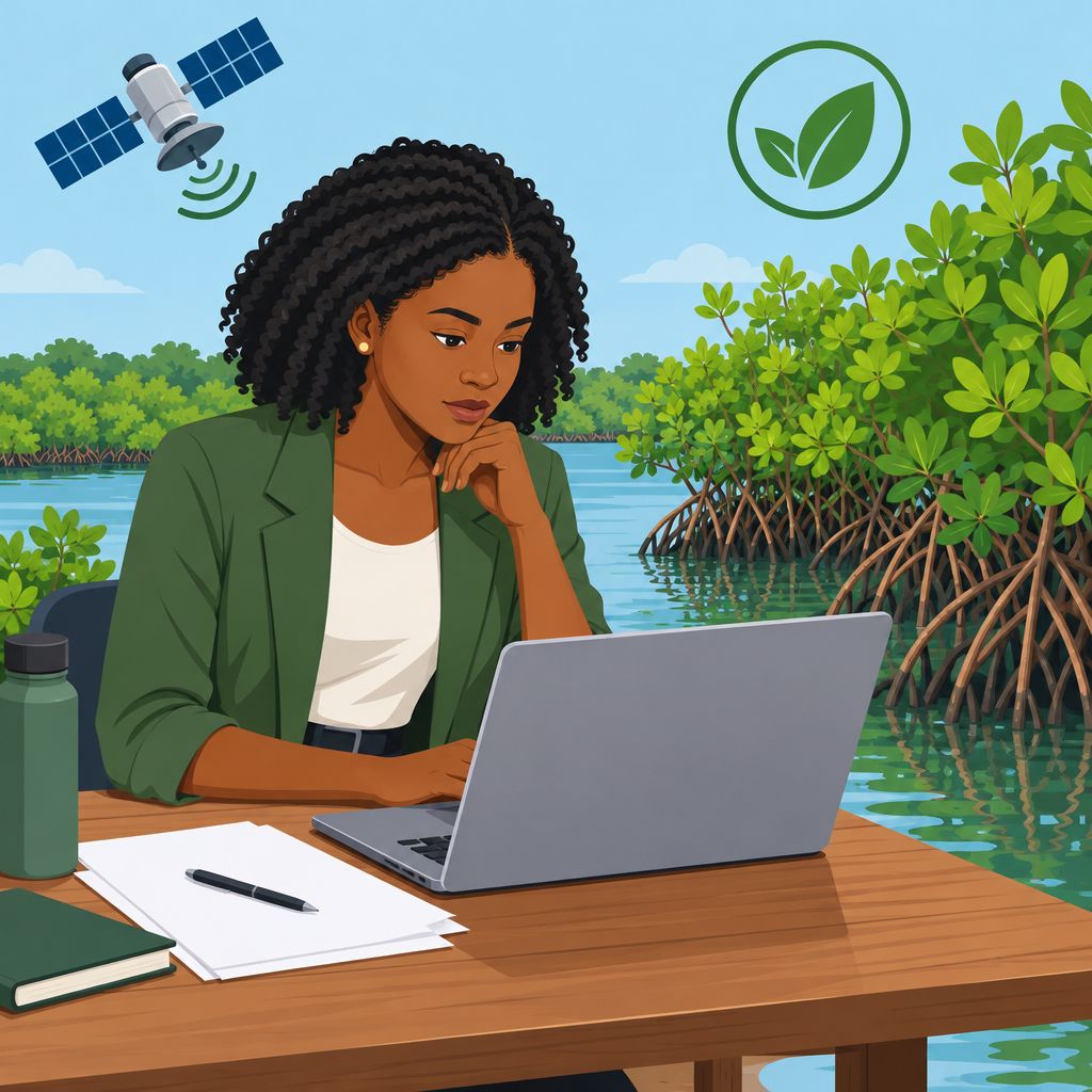
Endangered Species Habitat Mapping
Geoinformatics creates habitat maps for endangered species.
Conservationists use these maps to support habitat protection.
Thus, mapping helps guide conservation strategies and protect biodiversity.
Remote Sensing for Studying Climate Change Impacts
Remote sensing tools provide data about environmental changes linked to climate change.
Researchers use these observations to study climate change impacts.
As a result, remote sensing supports mitigation and adaptation efforts.
You Might Also Like: Materials Engineering Curriculum: What to Expect in Nigeria
Geoinformatics supports environmental conservation through data analysis and decision-making.
These tools help stakeholders protect natural resources and promote sustainable conservation practices.
Improved Environmental Decision-Making
- Environmental experts use spatial data analysis to make informed decisions.
- GIS technology identifies critical conservation areas and supports effective planning.
- Real-time monitoring helps experts respond promptly to changing environmental conditions.
- Geoinformatics tools make decision-making more efficient and effective.
Enhanced Environmental Data Visualization
- Geoinformatics presents complex environmental data in forms that policymakers can understand.
- GIS maps and interactive visuals communicate environmental challenges to wider audiences.
- Clear data representation supports policy formulation and implementation.
- Spatial visualization simplifies communication among stakeholders and decision-makers.
Increased Public Environmental Awareness
- Geoinformatics supports interactive platforms that educate the public about environmental concerns.
- GIS maps and applications help communities understand conservation priorities.
- Interactive tools encourage public participation in environmental initiatives.
- Greater awareness encourages sustainable practices and environmental responsibility.
Efficient Resource Management for Sustainability
- Geoinformatics supports efficient resource allocation for conservation projects.
- GIS technology maps high-priority areas and improves resource utilization.
- Spatial analysis and modeling strengthen resource management strategies.
- Monitoring resource usage supports sustainable practices and lasting conservation outcomes.
Stronger and More Sustainable Conservation Efforts
Geoinformatics improves conservation decisions by connecting environmental information with practical planning.
It also improves communication, public awareness, and resource management across conservation initiatives.
These combined benefits support more effective conservation and a healthier planet for future generations.
Explore Further: Career Paths for Marine Engineers in Nigeria
Challenges of Implementing Geoinformatics in Environmental Conservation
Organizations and governments face several challenges when implementing geoinformatics for environmental conservation.
These challenges can limit how effectively conservation teams use geospatial tools.
Addressing these barriers can help organizations gain greater value from geoinformatics.
- Lack of skilled professionals in the field
- High cost of acquiring and maintaining geoinformatics tools
- Data privacy and security concerns
- Limited access to reliable data in certain regions
Lack of Skilled Professionals
Geoinformatics requires specialized skills to analyze and interpret geospatial data effectively.
However, organizations often face a shortage of professionals with these capabilities.
Consequently, limited expertise can prevent organizations from fully using available geoinformatics tools.
High Cost of Geoinformatics Tools
Organizations must often invest substantially in geoinformatics software, hardware, and training.
These expenses can challenge organizations that operate with limited budgets.
As a result, high costs can hinder wider adoption of geoinformatics.
Data Privacy and Security Concerns
Environmental projects may involve sensitive data that requires careful protection.
Without robust security measures, geoinformatics tools can expose organizations to data breaches.
Therefore, organizations must address privacy and security risks during implementation.
Limited Access to Reliable Data
Some regions lack reliable and current geospatial data.
This limitation can reduce the accuracy of conservation assessments and planning.
Furthermore, decision-makers depend on accurate information when selecting conservation actions.
Strategies for Addressing Implementation Challenges
Organizations can invest in education and training programs to develop geoinformatics expertise.
They can also allocate funds for acquiring and maintaining necessary tools.
Additionally, strict privacy policies and improved data-sharing systems can strengthen implementation.
Gain More Insights: Mechanical Engineering Job Interviews: Tips and Tricks
Future Prospects of Geoinformatics in Environmental Conservation
Geoinformatics continues to evolve as environmental conservation adopts improved data collection and analytical approaches.
These developments can strengthen environmental monitoring and support more informed conservation planning.
Furthermore, professionals can combine emerging technologies and disciplinary knowledge to address complex environmental challenges.
- Advancements in technology can improve data collection accuracy.
- Artificial intelligence can support predictive environmental models.
- Interdisciplinary collaboration can promote holistic environmental management.
- Innovative solutions can address global environmental challenges.
Advancements in Technology for More Accurate Data Collection
Technological advancements continue to improve how Geoinformatics collects environmental data.
More accurate data collection can strengthen environmental analysis and conservation planning.
As technology develops, Geoinformatics can provide increasingly reliable information for environmental management.
Integration of Artificial Intelligence for Predictive Models
Artificial intelligence enables Geoinformatics professionals to create predictive models for future environmental trends.
These models can help professionals examine possible environmental changes through data-driven approaches.
Consequently, artificial intelligence can expand the analytical capabilities of Geoinformatics in conservation.
Collaboration with Other Disciplines for Holistic Environmental Management
Geoinformatics professionals can collaborate with experts from various disciplines.
This collaboration can support comprehensive environmental management strategies.
By combining disciplinary knowledge, teams can approach environmental management more holistically.
Development of Innovative Solutions for Global Challenges
Geoinformatics can offer innovative solutions for global environmental challenges.
Data-driven approaches can help professionals develop responses to complex environmental concerns.
Moreover, innovative applications can expand the role of Geoinformatics in environmental conservation.
Discover More: The Role of Technology in Nigerian Architectural Practice
Geoinformatics and Sustainable Environmental Conservation
Geoinformatics supports environmental conservation by providing valuable data and tools for informed decisions.
Furthermore, continued research and development help geoinformatics address changing environmental conditions.
Therefore, individuals should support geoinformatics initiatives for sustainability and planetary preservation.
Additional Resources
Google search results for How Geoinformatics Aids Environmental Conservation Engineering
Bing search results for How Geoinformatics Aids Environmental Conservation Engineering


