Introduction
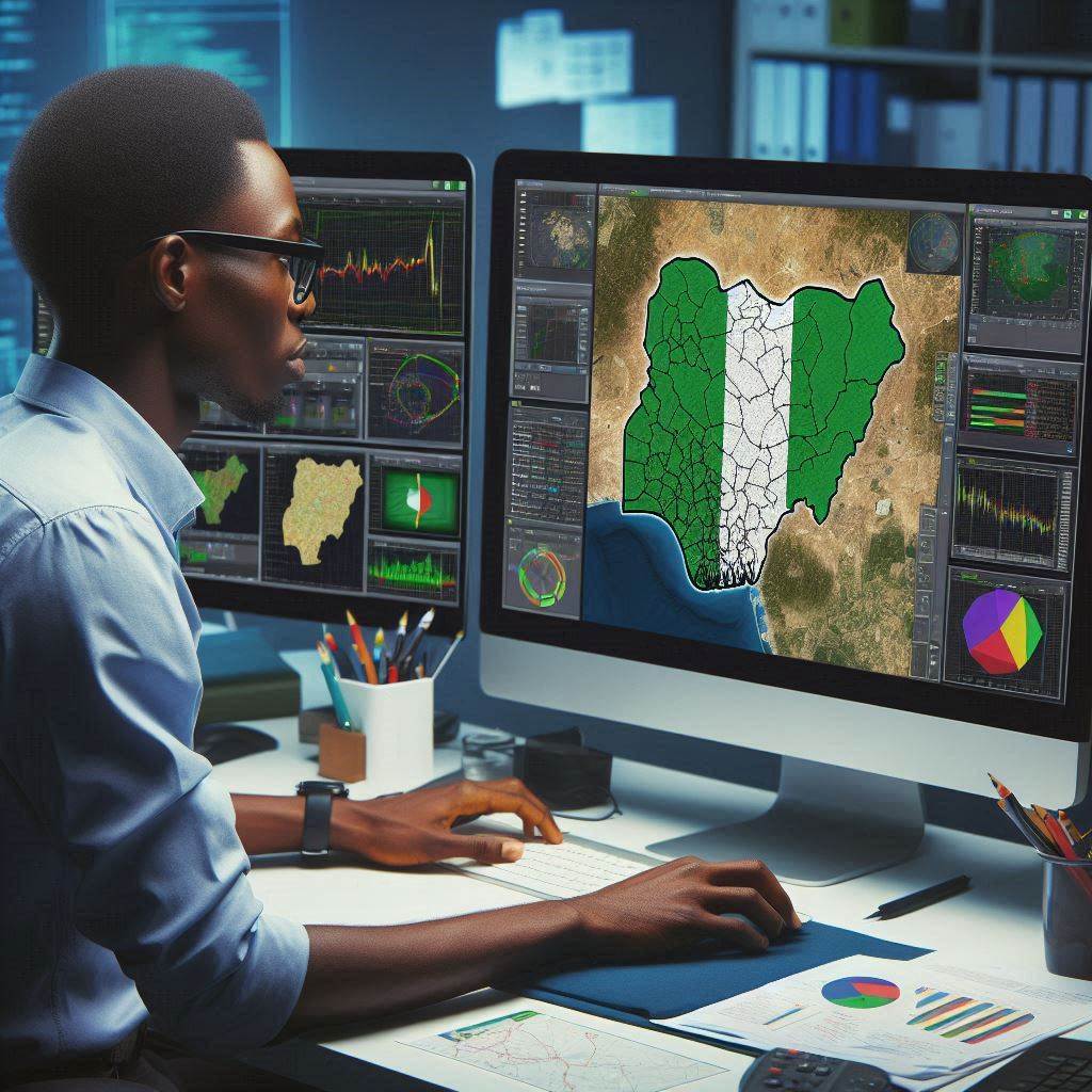
GIS data collection, a cornerstone of geographic information systems, is pivotal for diverse sectors in Nigeria’s development landscape.
In essence, GIS data encompasses spatially referenced information crucial for analysis, planning, and decision-making processes across sectors.
Within Nigeria, the significance of GIS data cannot be overstated, given its role in informing policy formulation, resource management, and infrastructure development.
Importance of GIS Data in Nigeria
In Nigeria, GIS data serves as a fundamental tool for addressing critical socio-economic and environmental challenges.
It facilitates evidence-based decision-making, enhances spatial analysis capabilities, and fosters sustainable development initiatives.
From urban planning and natural resource management to health care and disaster response, GIS data plays a pivotal role in enhancing efficiency, effectiveness, and transparency across various sectors.
Overview of the Current State of GIS Data Collection
However, despite its importance, the current state of GIS data collection in Nigeria presents notable challenges.
These challenges range from inadequate funding and technical capacity to outdated infrastructure and limited access to geospatial technology.
Consequently, there exists a significant gap between the demand for high-quality GIS data and the capacity to collect, manage, and utilize such data effectively.
In the subsequent sections, we delve deeper into the nuances of GIS data collection methods in Nigeria, exploring the diverse techniques, challenges, and opportunities in harnessing geographic information for sustainable development.
GPS Data Collection Methods
Explanation of GPS technology
Global Positioning System (GPS) technology is a satellite-based navigation system that allows users to accurately determine their location anywhere on earth.
GPS technology works by using a network of satellites that orbit the earth and continuously transmit signals to GPS receivers on the ground.
These receivers then calculate the exact position of the user by triangulating signals from multiple satellites, providing precise coordinates such as latitude, longitude, and altitude.
Use of GPS for mapping and data collection in Nigeria
- In Nigeria, GPS technology is widely used for mapping geographical features, land surveying, urban planning, agriculture, disaster response, and infrastructure development.
- Government agencies, private companies, and research institutions utilize GPS data collection methods to create accurate maps and gather spatial information for various projects.
- GPS data is collected using handheld devices or smartphones equipped with GPS receivers to capture geographical coordinates, track routes, and mark points of interest.
- Field surveyors and mappers in Nigeria rely on GPS technology to accurately map roads, landmarks, boundaries, and natural resources across the country.
Benefits and challenges of GPS data collection in Nigeria
- Benefits of GPS data collection in Nigeria include improved accuracy in mapping, increased efficiency in data collection, and enhanced decision-making for development projects.
- GPS technology helps to standardize geographic data, enable better planning and management of resources, and facilitate communication among stakeholders in Nigeria.
- Challenges of GPS data collection in Nigeria may include limited access to reliable GPS signal reception in remote or densely populated areas, which can affect data accuracy.
- Other challenges include the high cost of GPS equipment, inadequate training for field workers, and the need for regular calibration and maintenance of GPS devices.
In general, GPS data collection methods play a crucial role in mapping and gathering spatial information in Nigeria.
Despite the benefits, challenges such as signal reception issues and equipment costs need to be addressed to enhance the effectiveness of GPS technology in the country.
Read: Cartography and GIS Education in Nigeria
Remote Sensing Data Collection Methods
Remote sensing technology revolutionizes GIS data collection methodologies, offering unparalleled insights into Nigeria’s diverse landscapes and environments.
By utilizing remote sensing techniques, geographic information systems (GIS) can gather valuable spatial data essential for various sectors, including agriculture, urban planning, and environmental monitoring.
Introduction to Remote Sensing Technology
Remote sensing involves the acquisition of information about objects or areas from a distance, typically using aerial or satellite-based sensors.
These sensors capture data across different electromagnetic spectra, enabling the extraction of valuable information about land cover, land use, vegetation health, and more.
Application of Remote Sensing for GIS Data Collection in Nigeria
In Nigeria, remote sensing plays a pivotal role in addressing critical challenges such as land degradation, deforestation, and urban expansion.
By utilizing satellite imagery and aerial photography, GIS professionals can monitor changes in land cover, assess environmental degradation, and support land management initiatives.
Examples of Remote Sensing Techniques Used in Nigeria
- Satellite Imagery: High-resolution satellite imagery, such as that provided by platforms like Landsat and Sentinel, enables detailed mapping of land cover and land use patterns across Nigeria’s diverse landscapes.
- Aerial Photography: Aerial photography, conducted using drones or manned aircraft, offers localized and high-resolution imagery for specific areas of interest, facilitating detailed mapping and monitoring activities.
- LiDAR (Light Detection and Ranging): LiDAR technology provides precise elevation data, enabling accurate mapping of terrain features, floodplain delineation, and urban infrastructure planning.
- Hyperspectral Imaging: Hyperspectral sensors capture data across numerous spectral bands, allowing for advanced analysis of vegetation health, mineral exploration, and environmental monitoring.
GIS professionals in Nigeria can enhance data collection efforts by leveraging remote sensing techniques. This improves spatial analysis capabilities and supports informed decision-making across various sectors.
Limited access to satellite imagery, technical expertise, and data processing capabilities present challenges. Continued investment and capacity-building in remote sensing and GIS technology are essential.
Read: GIS Technology Advancements in Nigeria
Surveying Methods for GIS Data Collection
Surveying methods play a crucial role in GIS data collection, providing accurate spatial information essential for various applications across Nigeria’s diverse landscapes.
From traditional techniques to modern advancements, surveying methodologies continue to evolve, offering new opportunities for enhancing data accuracy and efficiency.
Overview of Traditional Surveying Methods
Traditional surveying methods, including land traversing and manual field measurements, have long been utilized for GIS data collection in Nigeria.
These techniques involve the use of basic instruments such as theodolites, chains, and tape measures to map out geographic features and boundaries.
Modern Surveying Techniques for GIS Data Collection
In recent years, advancements in technology have revolutionized surveying practices. They introduce modern techniques leveraging GPS, GNSS, and total stations.
These sophisticated instruments enable highly accurate positioning and mapping of features. They significantly enhance the efficiency and precision of GIS data collection processes.
Comparison of Surveying Methods in Nigeria
While traditional surveying methods remain prevalent in certain contexts, modern techniques have become increasingly popular. This is due to their superior accuracy and efficiency.
GPS and GNSS technologies, in particular, have revolutionized GIS data collection. They provide real-time positioning capabilities and eliminate the need for manual measurements.
In Nigeria, the adoption of modern surveying techniques has accelerated.
The growing demand for accurate spatial data in sectors like urban planning, infrastructure development, and natural resource management drives this.
These advanced methods offer numerous advantages over traditional approaches. They include faster data collection, improved accuracy, and enhanced capabilities for spatial analysis and visualization.
However, challenges persist, particularly in remote and underserved regions of the country. These include limited access to high-precision GNSS equipment, technical expertise, and infrastructure constraints.
Concerted efforts from government agencies, private sector stakeholders, and educational institutions are required to address these challenges. This entails investing in capacity building, technology transfer, and infrastructure development initiatives.
Overall, the evolution of surveying methods for GIS data collection reflects Nigeria’s commitment to harnessing technological advancements. This supports sustainable development and economic growth.
By embracing modern techniques and recognizing the value of traditional practices, Nigeria can unlock the full potential of GIS technology. This can address critical challenges and drive progress across the nation.
Read: Impact of GIS on Nigerian Environment
Crowd Sourcing Data Collection in Nigeria
Crowd sourcing has emerged as a valuable method for GIS data collection, leveraging the collective efforts of individuals or groups to gather and contribute spatial information across Nigeria’s diverse landscapes.
Definition of Crowd Sourcing
Crowd sourcing involves engaging a large number of people, often through online platforms or mobile applications, to collect and submit geographic data voluntarily.
Participants contribute observations, photos, or other relevant information, which are then aggregated and analyzed to create comprehensive spatial datasets.
Utilization of Crowd Sourcing for GIS Data Collection
In Nigeria, crowd sourcing has been utilized for various GIS data collection initiatives, ranging from mapping infrastructure and land use to monitoring environmental changes and disaster response.
Platforms like OpenStreetMap have facilitated collaborative mapping projects, enabling volunteers to contribute valuable geographic data that can be used for urban planning, humanitarian aid, and research purposes.
Advantages of Crowd Sourcing in Nigeria
Crowd sourcing offers several advantages for GIS data collection in Nigeria.
It enables rapid data collection over large areas, leveraging the collective knowledge and resources of a diverse group of participants.
Additionally, crowd sourcing can be cost-effective, as it relies on volunteers who contribute their time and expertise voluntarily.
This approach fosters community engagement and empowerment, enabling citizens to actively participate in the mapping and monitoring of their surroundings.
Limitations of Crowd Sourcing in Nigeria
Despite its benefits, crowd sourcing also presents certain limitations in the context of GIS data collection in Nigeria.
One challenge is ensuring data quality and accuracy, as contributions may vary in terms of reliability and consistency.
Additionally, crowd sourcing initiatives may face issues related to data privacy, security, and inclusivity. This is particularly notable in regions with limited internet access or digital literacy.
Moreover, sustaining volunteer participation and motivation over time can be challenging, requiring ongoing efforts to foster community involvement and support.
Ultimately, crowd sourcing offers a promising approach for GIS data collection in Nigeria. It leverages the collective power of volunteers to create valuable spatial datasets for various applications.
Nigeria can enhance its capacity for spatial data collection and analysis by harnessing the potential of crowd sourcing. This supports informed decision-making, sustainable development, and inclusive governance across the country.
Read: Role of GIS in Nigerian Urban Planning
Discover More: Structural Engineering: Overview and Career Path in Nigeria
Mobile Data Collection Methods
Mobile data collection has revolutionized GIS practices in Nigeria, providing efficient and accessible tools for gathering spatial information across diverse environments.
Introduction to Mobile Data Collection Tools
Mobile data collection involves the use of smartphones, tablets, or other handheld devices equipped with GPS capabilities and data collection apps to capture geographic data in real-time.
These tools enable fieldworkers to collect, store, and transmit spatial information conveniently, streamlining the data collection process.
Use of Mobile Devices for GIS Data Collection
In Nigeria, mobile devices have become indispensable for GIS data collection, offering flexibility, portability, and connectivity in remote and urban areas alike.
Fieldworkers utilize mobile apps such as OpenDataKit, GeoODK, and Survey123 to collect georeferenced data on infrastructure, land use, natural resources, and more.
Case Studies of Mobile Data Collection Projects in Nigeria
Numerous initiatives across Nigeria have demonstrated the effectiveness of mobile data collection for various purposes.
In agriculture, organizations use mobile apps to monitor crop health, soil conditions, and pest outbreaks. This facilitates precision farming and yield optimization.
In healthcare, mobile data collection supports disease surveillance, vaccination campaigns, and healthcare service delivery, improving public health outcomes.
In disaster response and humanitarian aid, mobile data collection enables rapid needs assessment, resource allocation, and coordination. This enhances disaster resilience and response efforts.
Mobile data collection methods offer several advantages over traditional paper-based surveys. These include real-time data collection, enhanced accuracy, and improved efficiency.
Nigeria can overcome logistical challenges by leveraging mobile technology.
This action streamlines data collection processes and generates timely spatial datasets for informed decision-making, policy formulation, and sustainable development initiatives.
However, challenges such as data security, device compatibility, and connectivity issues need to be addressed to fully harness the potential of mobile data collection for GIS applications in Nigeria.
In Nigeria, mobile data collection methods represent a valuable tool for enhancing GIS practices. They empower fieldworkers, researchers, and policymakers to collect, analyze, and utilize spatial data more effectively.
Nigeria can unlock new opportunities for data-driven decision-making by embracing mobile technology and investing in capacity building.
This action will foster innovation and progress across various sectors, ultimately contributing to the country’s socio-economic development and resilience.
Explore Further: Challenges in Nigeria’s Polymer and Textile Engineering
Conclusion
In closing, Nigeria employs diverse GIS data collection methods, ranging from field surveys to remote sensing techniques, across various sectors.
These methods play a crucial role in informing decision-making processes and facilitating sustainable development initiatives nationwide.
However, challenges such as data accuracy, interoperability, and accessibility persist, hindering the full potential of GIS in Nigeria.
Addressing these challenges requires substantial investment in capacity building, infrastructure, and institutional frameworks.
Leveraging advanced technologies like drones and AI will enhance future GIS data collection. These tools improve spatial data accuracy and efficiency.
By improving GIS data collection practices, Nigeria can better address socio-economic challenges and achieve its developmental goals.
Ultimately, this will contribute to the overall progress and prosperity of the nation, ensuring informed decision-making and sustainable resource management.
Enhancing GIS data collection methods in Nigeria is crucial. Maximizing geospatial information benefits drives socio-economic development effectively.