Introduction
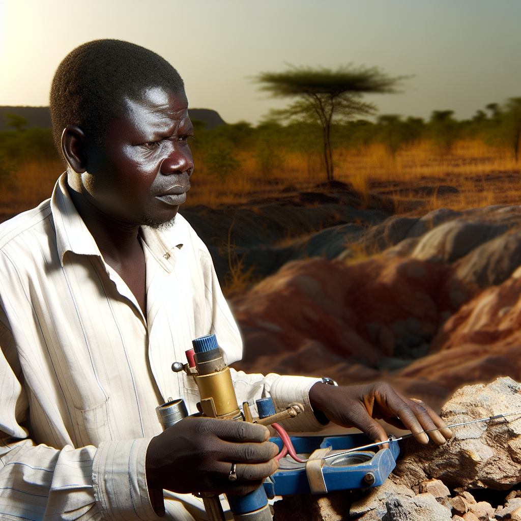
In Nigeria, fieldwork is an essential component of the geophysicist profession.
It allows geophysicists to gather data firsthand, which is crucial for their research and projects.
Importance of Fieldwork for Geophysicists in Nigeria
Fieldwork plays a vital role in the work of geophysicists in Nigeria as it provides them with a practical understanding of geological features and formations.
Enhancement of Practical Skills and Data Collection Techniques
Fieldwork enhances the practical skills of Nigerian geophysicists by allowing them to apply theoretical knowledge in real-world settings.
It also improves their data collection techniques through hands-on experience.
Essential Equipment for Fieldwork
In order to conduct successful fieldwork as a geophysicist in Nigeria, it is crucial to have the right tools and equipment at your disposal.
Below is a list of necessary equipment that every Nigerian geophysicist should have:
- Seismometers
- Magnetometers
- GPS units
- Ground-penetrating radar
- Geophones
- Gravity meters
These tools are essential for collecting data and conducting surveys in the field.
Without them, geophysicists would not be able to accurately assess subsurface conditions and geological structures.
Importance of Proper Maintenance and Calibration of Equipment
It is not enough to simply have the right equipment; it is equally important to ensure that it is properly maintained and calibrated before heading out into the field.
Here are a few reasons why this is crucial:
- Accuracy: Properly calibrated equipment will provide more accurate and reliable data, leading to more precise interpretations.
- Reliability: Well-maintained equipment is less likely to malfunction or break down during fieldwork, reducing downtime and ensuring the success of the survey.
- Safety: Regular maintenance helps identify and address any potential safety hazards, protecting both the equipment and the geophysicists using it.
- Longevity: Taking care of equipment prolongs its lifespan, saving money on replacements and ensuring that it will continue to perform well in the future.
By investing time and effort into properly maintaining and calibrating their equipment, Nigerian geophysicists can ensure the success of their fieldwork and the accuracy of their data.
Safety Protocols in the Field
Adhering to safety guidelines is crucial in remote or hazardous environments.
Geophysicists must prioritize safety to prevent accidents and injuries.
Proper safety protocols ensure a smooth and successful fieldwork experience.
Importance of Adhering to Safety Guidelines
Working in remote or hazardous environments poses various risks.
Complying with safety guidelines minimizes the likelihood of accidents.
Protecting oneself and team members should be the top priority.
Discussion on Emergency Plans
Geophysicists should have well-defined emergency plans in place.
Emergency plans outline steps to follow in case of accidents.
Having a clear protocol can save lives during critical situations.
Communication Procedures in Case of an Accident
Establishing effective communication channels is vital for safety.
Geophysicists should have designated emergency contacts for quick response.
Regularly update team members on communication procedures and contact information.
See Related Content: Job Market for Applied Zoologists in Nigeria
Data Collection Techniques
Overview of Different Geophysical Survey Methods.
- Seismic Survey: Involves generating shock waves to image subsurface structures.
- Magnetic Survey: Measures variations in the Earth’s magnetic field to identify anomalies.
- Gravity Survey: Measures variations in Earth’s gravitational field to map subsurface density variations.
Explanation of How to Select the Appropriate Technique.
- Identify Survey Objective: Determine if the goal is to map subsurface structures, identify mineral deposits, or locate potential oil and gas reserves.
- Consider Geology: Geological characteristics of the survey area will influence the choice of technique (e.g., seismic for layered structures, magnetic for magnetic anomalies).
- Budget Constraints: Some techniques may be more expensive than others, so budget limitations must be considered when selecting a method.
- Accessibility: Factors such as terrain, vegetation cover, and existing infrastructure will impact the ability to deploy certain survey methods.
- Data Resolution: Different techniques have varying levels of resolution, so the desired level of detail in the final output must be considered.
Explore Further: Understanding Nigerian Wildlife Through Zoology
Fieldwork Planning and Logistics
Thorough planning is essential for successful fieldwork.
Site selection is crucial; consider access, safety, and geological features.
Obtain necessary permissions before starting fieldwork to avoid legal issues.
Organize a detailed schedule for each day to maximize productivity.
Plan transportation options to and from the field, ensuring timely arrival.
Accommodations should be comfortable and close to the field site for convenience.
Consider the weather conditions and pack appropriate gear and supplies.
-
Plan carefully for logistics.
-
Remember safety protocols.
-
Use a checklist for supplies.
Explore Further: Animal Science Conferences and Seminars in Nigeria

Data Interpretation and Analysis
Nigerian geophysicists play a crucial role in collecting and analyzing geophysical data to understand the subsurface structure and resources.
Proper interpretation and analysis of data are essential for making accurate decisions and interpretations.
- Importance of proper documentation and organization of collected data
- Overview of software tools and techniques for processing and interpreting geophysical data
Proper documentation and organization of collected data are crucial for maintaining data integrity and accuracy.
Geophysicists must ensure that all data collected in the field are recorded accurately and stored securely.
Transform Your Career with Expert Guidance
Get personalized mentorship consulting that’s tailored to your unique path. Our expert advice is actionable and exclusive.
Get StartedBy documenting the source of data, the method of collection, and any observations made during data collection, geophysicists can track the lineage of data and ensure its reliability.
Proper organization of data helps in easy retrieval and analysis, preventing data loss or corruption.
Geophysicists rely on various software tools and techniques to process and interpret the geophysical data collected in the field.
These tools aid in transforming raw data into meaningful information for decision-making.
Some commonly used software tools include Seismic Un*x, Geosoft Oasis montaj, and Kingdom Suite.
These tools offer features for data processing, visualization, modeling, and interpretation, making it easier for geophysicists to analyze complex data sets.
Techniques such as seismic interpretation, electromagnetic imaging, and magnetic modeling are used to extract valuable insights from geophysical data.
By applying these techniques in combination with software tools, geophysicists can create detailed subsurface models and maps.
You Might Also Like: How to Choose a Career in Applied Geology
Fieldwork as a Vital Component for Geophysicists
Fieldwork is essential for Nigerian geophysicists to gain practical experience and enhance their skills.
Nigerian geophysicists must prioritize fieldwork in their training.
This practice equips them with hands-on knowledge of geophysical methods.
Furthermore, fieldwork helps them understand geological contexts better.
Preparation is critical before engaging in fieldwork.
Geophysicists must assess the area and select appropriate equipment.
Safety measures should also be a top priority during field activities.
Proper training in safety protocols can prevent accidents.
Data collection forms a significant part of fieldwork.
Nigerian geophysicists should focus on accurate data collection techniques.
Post-fieldwork, the analysis of collected data is crucial.
It allows them to interpret findings and contribute to research.
Prioritizing fieldwork is a critical step for professional development.
Nigerian geophysicists should aim to excel in their field through this practice.
Additional Resources
2017 Projects | Sustainability, Engineering and Science …
[PDF] Use of geophysical logs in hydrogeological studies and …


