Introduction
Cartography is the art and science of map-making, crucial for representing geographical information accurately.
Maps facilitate navigation, planning, and decision-making, serving as essential tools in various sectors.
In Nigeria, cartography holds significant importance for development and planning.
Accurate maps help in urban planning, resource management, and infrastructure development, ensuring efficient allocation and utilization of resources.
Cartography also supports disaster management by identifying vulnerable areas and planning mitigation strategies.
In agriculture, it aids in land use planning, optimizing crop production, and monitoring environmental changes.
Furthermore, cartography enhances transportation planning, enabling the design of efficient road networks and public transport systems.
In education, maps are invaluable for teaching geography and environmental studies.
As Nigeria continues to grow, innovations in cartography will play a vital role in sustainable development.
Modern cartographic techniques, including GIS and remote sensing, are revolutionizing how geographical data is collected, analyzed, and utilized.
Traditional Cartography in Nigeria
The Traditional Methods of Mapping and Cartography Used in Nigeria
Traditional cartography in Nigeria relied on manual techniques for mapping and geographical representation.
Cartographers used basic tools like compasses, rulers, and sketching instruments to create maps.
They often conducted field surveys, walking long distances to gather data firsthand.
These surveys involved measuring distances and angles manually, a time-consuming and labor-intensive process.
Cartographers then transferred their field data onto paper, using hand-drawn techniques to create maps.
One traditional method was the use of triangulation, a technique involving the measurement of angles in a network of triangles to determine distances.
This method required extensive calculations and accurate measurements, which were often challenging to achieve in rugged terrains.
Another method involved plane table surveying, where cartographers placed a drawing board on a tripod and drew maps directly based on field observations.
This method, while practical, was limited by the cartographer’s ability to visually estimate distances and angles accurately.
The Limitations and Challenges Faced by Traditional Cartographers in Nigeria
Traditional Nigerian cartographers also faced significant challenges in accessing remote and inaccessible areas.
Dense forests, mountainous regions, and vast savannas posed difficulties for accurate data collection.
The lack of advanced technology meant that cartographers had to rely on their skills and experience, which could vary widely.
Moreover, traditional methods were highly susceptible to human error, leading to inaccuracies in maps.
The lack of standardized procedures and equipment further compounded these challenges.
Different cartographers used varying techniques and tools, resulting in inconsistencies in map quality and accuracy.
Additionally, traditional cartography in Nigeria was constrained by limited resources and funding.
Many cartographers operated independently or with minimal support, hindering the development and dissemination of high-quality maps.
Traditional cartographers also faced difficulties in updating maps.
Changes in the landscape due to urbanization, agriculture, and natural events required frequent map updates.
However, the manual nature of traditional cartography made this process slow and cumbersome.
This lag in updating maps meant that they often became outdated quickly, reducing their reliability for planning and decision-making.
Furthermore, the lack of advanced storage and reproduction techniques limited the availability and distribution of maps.
Traditional maps were often one-of-a-kind creations, difficult to replicate and share widely.
This limitation hindered the widespread use of maps for education, planning, and development.
Read: Challenges in Nigerian Curriculum Studies
Technological Innovations in Nigerian Cartography
The role of technology in revolutionizing cartography in Nigeria
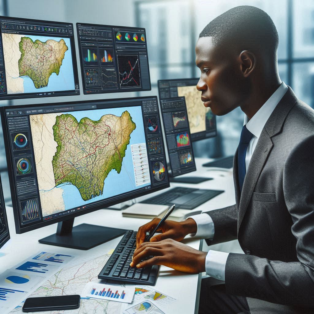
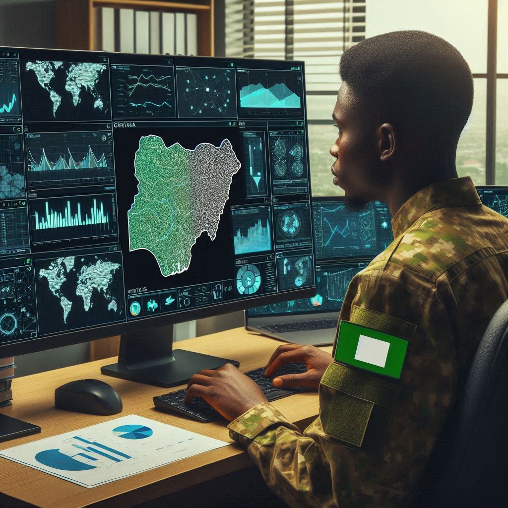
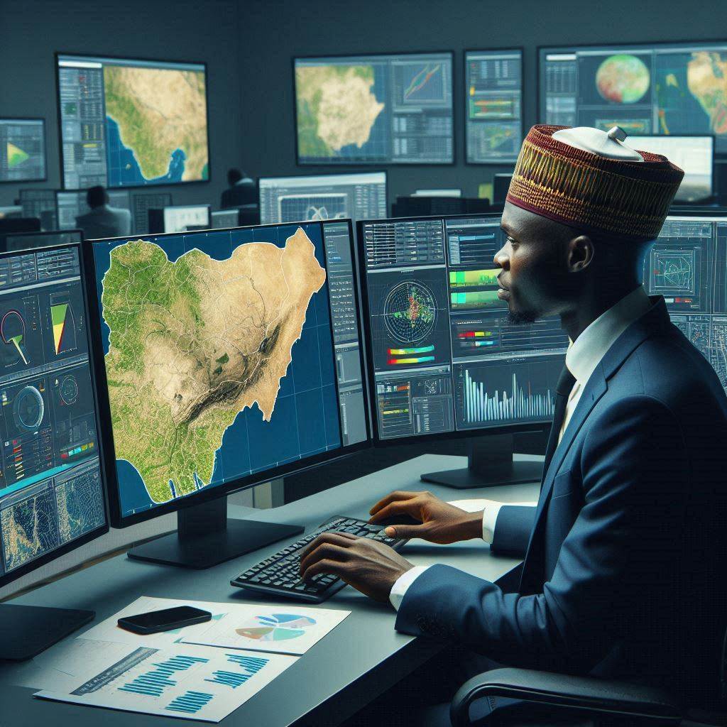
Technology plays a crucial role in revolutionizing cartography in Nigeria.
The use of advanced tools such as Geographic Information Systems (GIS), remote sensing, and Global Positioning System (GPS) has significantly enhanced modern mapping techniques in the country.
The use of GIS, remote sensing, and GPS in modern mapping techniques
GIS
Geographic Information Systems have transformed the way maps are created and analyzed in Nigeria.
GIS technology allows cartographers to overlay different layers of information, such as population data, land use, and infrastructure, to create detailed and interactive maps.
This helps decision-makers in urban planning, resource management, disaster response, and various other sectors.
Remote Sensing
Remote sensing technology, which involves the use of satellites and aerial platforms to capture images of the Earth’s surface, has been instrumental in mapping remote and inaccessible areas in Nigeria.
It provides valuable data on topography, vegetation cover, land use, and changes over time.
This information is useful for monitoring deforestation, urban expansion, agricultural practices, and environmental degradation.
GPS
Global Positioning System technology has revolutionized the accuracy and precision of mapping in Nigeria.
GPS devices allow cartographers to determine the exact coordinates of any location on Earth, enabling the creation of detailed maps with precise referencing.
This technology is extensively used in navigation, surveying, geocoding, and disaster response operations.
Overall, the integration of GIS, remote sensing, and GPS technologies in Nigerian cartography has led to more efficient, reliable, and dynamic mapping solutions.
These innovations have enabled cartographers to overcome traditional mapping challenges and provide users with up-to-date, geospatial information for informed decision-making.
Read: Role of GIS in Nigerian Urban Planning
Case Studies of Innovative Cartography Projects in Nigeria
Some successful and impactful cartography projects in Nigeria
There have been several successful and impactful cartography projects in Nigeria that have significantly contributed to various sectors such as agriculture, urban planning, and disaster management.
How these projects have contributed to various sectors such as agriculture, urban planning, and disaster management
GIS Mapping for Agriculture
- One innovative project in Nigeria is the use of GIS mapping for agricultural purposes.
- GIS technology helps farmers to analyze soil types, topography, and other factors to improve crop yield.
- This project has led to increased productivity and efficiency in the agricultural sector.
Urban Planning and Infrastructure Development
- Another impactful cartography project in Nigeria focused on urban planning and infrastructure development.
- By using accurate maps and data, city planners can make informed decisions on land use and development.
- This project has resulted in better urban layouts, improved transportation systems, and sustainable infrastructure.
Disaster Management and Response
- Nigeria has also implemented innovative cartography projects for disaster management and response.
- By mapping high-risk areas and creating evacuation routes, authorities can effectively respond to emergencies.
- These projects have saved lives during natural disasters such as floods, earthquakes, and outbreaks.
In short, innovative cartography projects in Nigeria have made significant contributions to various sectors, improving productivity, efficiency, and overall quality of life for the citizens.
Read: Impact of GIS on Nigerian Environment
Challenges and Opportunities in Nigerian Cartography
The Current Challenges Faced by Cartographers in Nigeria, Such as Inadequate Funding and Lack of Skilled Professionals
Nigerian cartographers face significant challenges in their work today.
One major issue is inadequate funding for cartographic projects.
Limited financial resources hinder the acquisition of advanced tools and technologies.
Cartographers often struggle to access necessary equipment and software due to budget constraints.
This lack of funding also affects the training and development of professionals in the field.
There is a noticeable shortage of skilled cartographers in Nigeria.
The educational system does not sufficiently prioritize cartographic studies.
As a result, there are few specialized training programs available.
Many aspiring cartographers lack opportunities to gain practical experience and advanced knowledge.
This skills gap limits the ability of professionals to produce high-quality, accurate maps.
Another challenge is the lack of infrastructure to support cartographic work.
Poor internet connectivity and inadequate technological infrastructure impede data collection and analysis.
Cartographers often face difficulties in accessing reliable geographic information systems (GIS) and remote sensing tools.
These limitations reduce the efficiency and effectiveness of cartographic processes.
Additionally, there are issues related to data availability and quality.
Many regions in Nigeria have incomplete or outdated geographic data.
This scarcity of accurate information poses a challenge for cartographers.
They often have to rely on outdated maps or conduct time-consuming field surveys.
The inconsistency in data quality further complicates map-making efforts.
Environmental factors also present challenges for Nigerian cartographers.
The country’s diverse landscapes include forests, mountains, and wetlands, which are difficult to map accurately.
Harsh weather conditions and remote locations add to the complexity of fieldwork.
These environmental challenges require cartographers to employ innovative techniques and tools.
The Opportunities for Growth and Advancement in the Field of Cartography in Nigeria
Despite these challenges, there are numerous opportunities for growth in Nigerian cartography.
One promising area is the integration of modern technologies.
The adoption of GIS and remote sensing can revolutionize cartographic processes.
These technologies enable more accurate data collection and analysis.
They also facilitate the creation of detailed and interactive maps.
Government initiatives can also play a crucial role in advancing cartography.
Increased funding and support for cartographic projects are essential.
Policies that prioritize geographic information systems can boost the field significantly.
Collaboration between government agencies and educational institutions can foster a skilled workforce.
Providing scholarships and training programs can attract more individuals to the field.
Private sector involvement presents another opportunity for growth.
Companies can invest in cartographic technologies and services.
Collaboration between private firms and cartographers can lead to innovative solutions.
Businesses can also contribute to funding and resource provision for cartographic projects.
This partnership can drive advancements in mapping and geographic information.
Educational reforms are vital for the future of Nigerian cartography.
Incorporating cartographic studies into the curriculum can inspire young minds.
Establishing specialized training centers can provide hands-on experience.
These reforms can cultivate a new generation of skilled cartographers.
In essence, while Nigerian cartographers face significant challenges, there are numerous opportunities for growth.
Embracing modern technologies, government support, private sector involvement, and educational reforms can drive the field forward.
These efforts can enhance the quality and accuracy of cartographic work in Nigeria.
Read: GIS Technology Advancements in Nigeria
The Future of Cartography in Nigeria
The Future Trends and Developments in Cartography in Nigeria
The future of cartography in Nigeria looks promising with several key trends on the horizon.
Digital transformation will play a significant role in this field.
Traditional paper maps are becoming obsolete as digital mapping tools gain popularity.
The adoption of Geographic Information Systems (GIS) will continue to rise.
GIS provides dynamic and interactive mapping solutions that enhance accuracy and usability.
Nigerian cartographers will increasingly rely on satellite imagery and remote sensing.
These technologies offer high-resolution data that improve map quality and detail.
Crowdsourced mapping will become more prevalent in Nigeria.
Engaging communities in data collection can fill gaps in geographic information.
This approach empowers local populations and improves map accuracy.
Mobile technology will also influence cartographic practices.
Smartphones and tablets equipped with GPS capabilities facilitate real-time data collection.
Cartographers can gather and update geographic information on the go.
Environmental monitoring will drive advancements in Nigerian cartography.
Climate change and natural resource management require accurate maps.
Cartographers will develop tools to monitor environmental changes and inform policy decisions.
Urbanization will continue to shape the future of Nigerian cartography.
Rapid population growth necessitates detailed urban planning maps.
These maps will support infrastructure development and efficient land use.
Potential Impact of Emerging Technologies like Artificial Intelligence and Machine Learning on the Field of Cartography
Emerging technologies like artificial intelligence (AI) and machine learning (ML) will revolutionize Nigerian cartography.
AI can automate many aspects of map-making, increasing efficiency.
For instance, AI algorithms can analyze satellite imagery to detect changes in land use.
This automation reduces the time and effort required for manual analysis.
Machine learning will enhance the accuracy of geographic data.
ML models can process vast amounts of data to identify patterns and trends.
These insights help cartographers create more precise maps.
AI and ML will also improve predictive modeling in cartography.
Cartographers can use these technologies to forecast environmental changes.
Predictive maps will aid in disaster preparedness and resource management.
The integration of AI and ML with GIS will create powerful mapping tools.
These tools can handle complex data sets and provide real-time updates.
AI-powered GIS systems will offer advanced analytics and visualization capabilities.
This integration will enable cartographers to produce more informative and interactive maps.
Emerging technologies will also facilitate better decision-making.
AI and ML can analyze geographic data to support policy development.
For example, urban planners can use AI-driven maps to design sustainable cities.
Agricultural managers can optimize land use and crop production with these advanced tools.
Moreover, AI and ML will make cartography more accessible.
User-friendly mapping applications will democratize the field.
Individuals and communities can contribute to and benefit from cartographic data.
This democratization will enhance public engagement and awareness.
Most important, the future of cartography in Nigeria is bright with digital transformation leading the way.
Emerging technologies like AI and ML will significantly impact the field.
These advancements will improve map accuracy, efficiency, and accessibility.
Nigerian cartographers will be well-equipped to address the country’s evolving needs.
As technology progresses, the role of cartography in Nigeria’s development will continue to grow.
Conclusion
Innovations in Nigerian cartography are transforming how we map and understand the nation.
Traditional methods have given way to digital mapping, GIS, and satellite imagery.
Emerging technologies like AI and machine learning are enhancing accuracy and efficiency.
Despite challenges like inadequate funding and skill gaps, opportunities for growth abound.
Crowdsourced mapping and mobile technology are involving communities in data collection.
Future trends point to greater reliance on predictive modeling and environmental monitoring.
These advancements will revolutionize how we handle natural disasters and manage resources.
Accurate maps support infrastructure planning, disaster preparedness, and resource management.
Continued innovation and investment in cartography are crucial for Nigeria’s development.
By embracing technological advancements, Nigeria can improve decision-making and foster sustainable growth.
The future of Nigerian cartography is promising, with technology driving progress and development.
Investing in this field will ensure that Nigeria meets its evolving geographic and environmental needs.
Enhanced mapping capabilities will bolster economic growth, environmental protection, and national security.
Innovations in cartography will provide Nigeria with the tools to address complex challenges.
They will support urban planning, agricultural development, and environmental conservation.
Accurate and up-to-date maps are essential for effective governance and informed policy-making.
As Nigeria continues to grow, the importance of advanced cartography will only increase.
By prioritizing investment in cartographic technologies, Nigeria can stay ahead of global trends.
This will enable the nation to harness the full potential of its geographic and environmental assets.
In summary, the advancements in Nigerian cartography are vital for the country’s progress and prosperity.
Embracing these innovations will lead to a brighter, more sustainable future for all Nigerians.