Introduction
In the vast realm of education, cartographic resources stand as indispensable tools, particularly for Nigerian students.
These resources, which include maps, atlases, and digital platforms, serve as gateways to understanding the intricate tapestry of Nigeria’s geography, culture, and socio-economic dynamics.
Cartographic resources play a multifaceted role in shaping the educational landscape of Nigeria.
They serve not only as navigational aids but also as windows into the diverse landscapes, regions, and communities that constitute the country.
By providing detailed visual representations, these resources facilitate comprehensive learning experiences that transcend traditional classroom boundaries.
The importance of cartographic resources for students in Nigeria cannot be overstated.
They offer invaluable insights into geographical features, cultural diversity, and historical contexts, empowering students to develop a deeper appreciation for their surroundings and heritage.
Moreover, access to such resources fosters critical thinking, spatial reasoning, and research skills essential for academic success and personal growth.
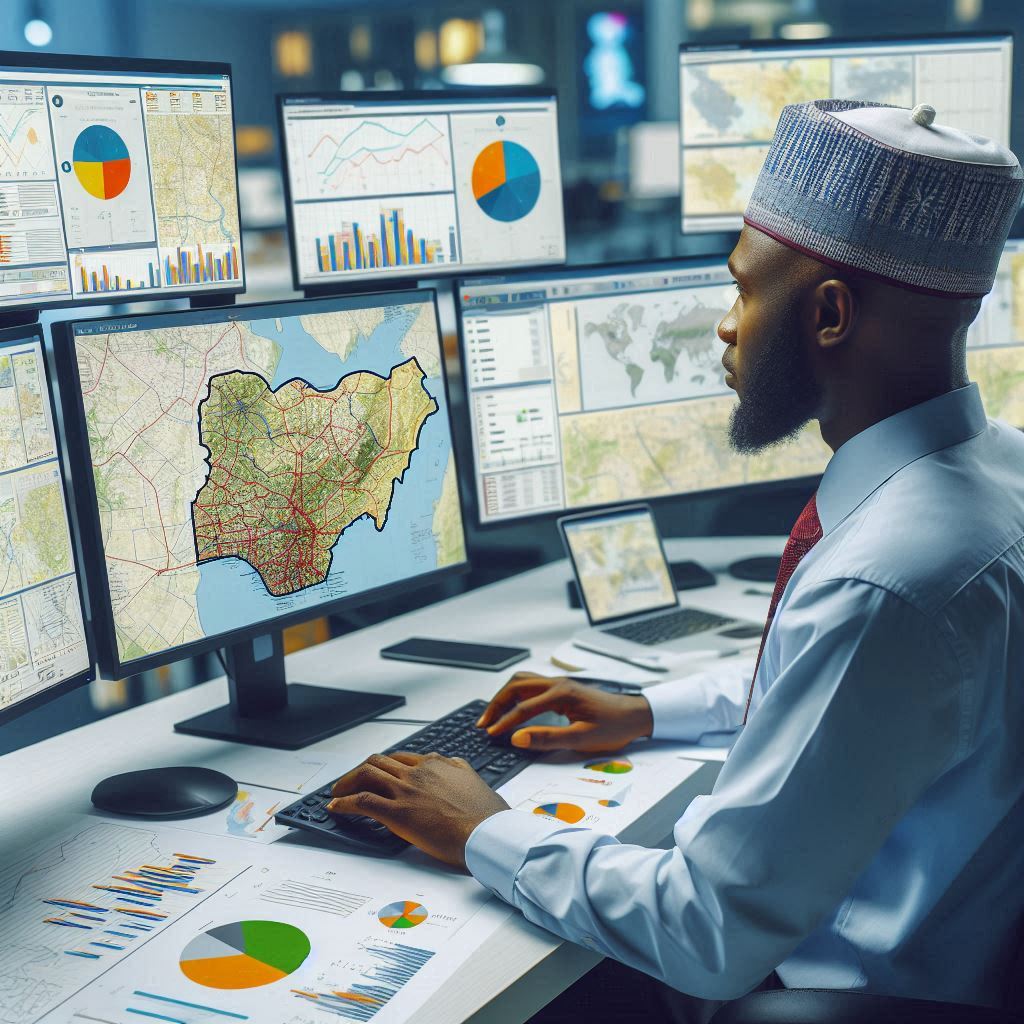
Types of Cartographic Resources Available for Nigerian Students
As students in Nigeria, having access to cartographic resources is crucial for understanding geographic information.
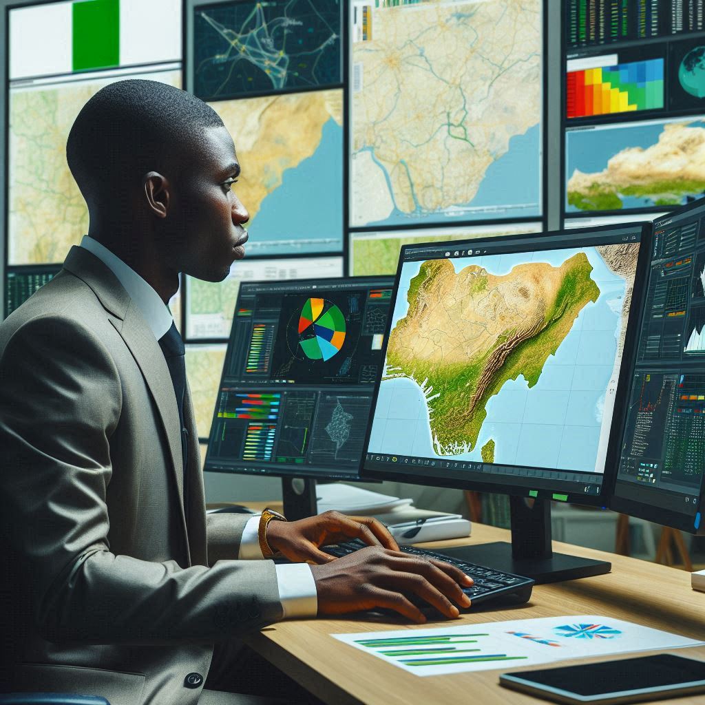
Online Maps and Atlases
- Online maps provide interactive tools for students to explore various regions in Nigeria.
- Atlases available online offer detailed maps that can be accessed anytime and anywhere.
- These resources are updated regularly to provide the most current information to students.
Printed Maps and Atlases
- Printed maps are essential for classroom learning and reference for Nigerian students.
- Atlases in print form offer in-depth details about the geography of Nigeria.
- These resources can be easily carried around and used without the need for an internet connection.
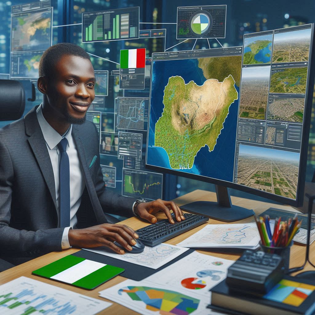
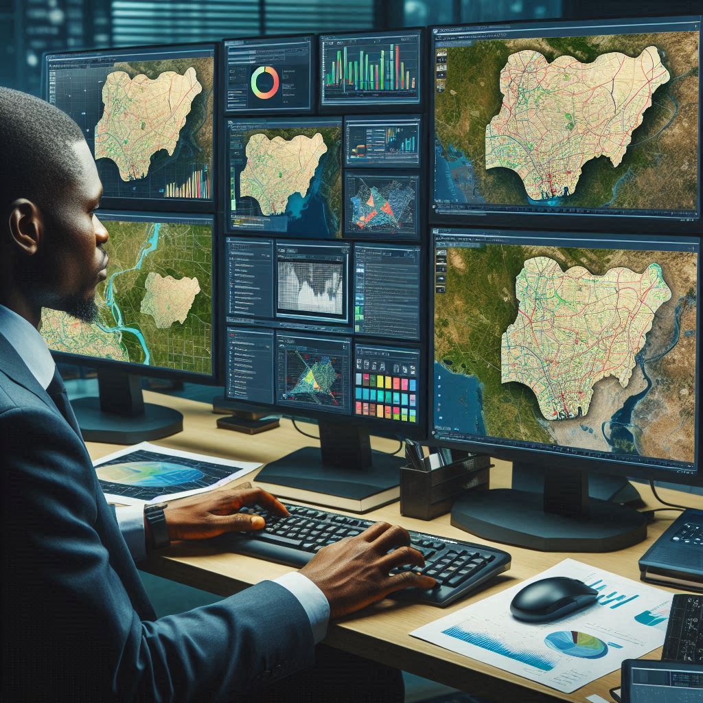
Geographic Information Systems (GIS) Software
- GIS software allows students to analyze and visualize geographic data effectively.
- Students can create their maps, overlay different data sets, and conduct spatial analysis.
- This resource helps in understanding complex spatial relationships within Nigeria.
GPS Devices
- GPS devices are handy tools for fieldwork and mapping activities undertaken by students.
- These devices provide accurate location information and help in navigation across different terrains.
- Students can use GPS devices to collect data and track their movements during research projects.
Having access to these cartographic resources enables Nigerian students to enhance their geographical knowledge and skills.
It is essential for educational institutions in Nigeria to invest in these resources to support students in their learning journey.
By utilizing online maps, printed maps, GIS software, and GPS devices, students can gain a better understanding of the geography of Nigeria and develop critical spatial analysis skills.
Read: Challenges in Nigerian Curriculum Studies
Benefits of using cartographic resources for Nigerian students
Cartographic resources provide invaluable benefits for Nigerian students.
These tools enhance geographical knowledge, facilitate research projects, help understand spatial relationships, and boost critical thinking skills.
Enhances Geographical Knowledge
Cartographic resources significantly enhance geographical knowledge among Nigerian students.
Maps and atlases offer detailed insights into Nigeria’s diverse landscapes, regions, and natural features.
These resources enable students to visualize and understand the country’s physical geography better.
They learn about various landforms, climates, and ecosystems, fostering a deeper connection to their environment.
Digital cartographic tools provide interactive experiences that traditional maps cannot.
These tools allow students to explore different regions of Nigeria in a more engaging and detailed manner.
By using these resources, students gain a comprehensive understanding of the country’s geography, which is crucial for their academic growth and personal awareness.
Facilitates Research and Study Projects
Cartographic resources are indispensable for research and study projects.
They offer accurate and reliable data that students can use to support their research findings.
Maps, for instance, provide essential information on population distribution, natural resources, and infrastructure, which are vital for various academic projects.
Digital mapping tools, such as Geographic Information Systems (GIS), allow students to analyze spatial data more effectively.
GIS technology enables students to create, manipulate, and interpret data in ways that traditional maps cannot.
By integrating cartographic resources into their projects, students can produce more comprehensive and accurate research outcomes.
Helps in Understanding Spatial Relationships
Understanding spatial relationships is crucial in geography and other related fields.
Cartographic resources help Nigerian students grasp these concepts more effectively.
Maps and spatial data visualize the relationships between different geographical entities, such as cities, rivers, mountains, and roads.
Students learn to interpret distances, directions, and the spatial arrangement of features.
This understanding is essential for various disciplines, including urban planning, environmental science, and logistics.
By using cartographic resources, students develop a keen sense of spatial awareness, which is critical for their academic and professional pursuits.
Enhances Critical Thinking Skills
Cartographic resources enhance critical thinking skills among Nigerian students.
Analyzing maps requires students to observe, interpret, and evaluate geographical data critically.
They learn to question and understand the underlying factors that shape the physical and human landscapes of Nigeria.
Using digital maps and GIS tools further develops these skills.
Students engage in data analysis, problem-solving, and decision-making processes, which are integral to critical thinking.
By working with cartographic resources, students cultivate analytical skills that are essential for their academic and future careers.
In a nutshell, cartographic resources offer numerous benefits to Nigerian students.
They enhance geographical knowledge, facilitate research and study projects, help in understanding spatial relationships, and enhance critical thinking skills.
Integrating these resources into the educational curriculum is vital for nurturing informed, analytical, and globally aware individuals.
Read: Role of GIS in Nigerian Urban Planning
Challenges Faced by Nigerian Students in Accessing Cartographic Resources
Nigerian students face several challenges in accessing cartographic resources.
These include the limited availability of updated maps, lack of access to advanced GIS software, high costs of purchasing maps and atlases, and limited internet connectivity in remote areas.
Limited Availability of Updated Maps
One of the significant challenges is the limited availability of updated maps.
Many Nigerian schools rely on outdated maps, which do not reflect current geographical and infrastructural changes.
This gap hinders students’ ability to learn accurate and relevant information.
Updated maps are essential for understanding contemporary issues, such as urbanization and environmental changes.
However, the production and distribution of updated maps are often slow, leaving students with inadequate learning tools.
Lack of Access to Advanced GIS Software
Advanced GIS software is crucial for modern cartographic education, but many Nigerian students lack access to these tools.
GIS software enables detailed spatial analysis and data visualization, providing a deeper understanding of geographical phenomena.
Unfortunately, high costs and limited availability of these technologies prevent widespread use in Nigerian schools.
Without access to GIS software, students miss out on learning opportunities that are essential for careers in geography, urban planning, and environmental science.
Cost of Purchasing Maps and Atlases
The cost of purchasing maps and atlases presents another significant barrier.
High-quality maps and atlases are expensive, making them inaccessible to many students.
Schools with limited budgets often prioritize other resources, leaving geography departments underfunded.
This financial constraint limits students’ exposure to essential cartographic tools.
Additionally, students from low-income families cannot afford personal copies, restricting their ability to study outside the classroom.
Limited Internet Connectivity in Remote Areas
Limited internet connectivity in remote areas further exacerbates access issues.
Many cartographic resources are now available online, including digital maps and GIS platforms.
However, students in remote areas struggle to access these resources due to poor internet infrastructure.
This digital divide creates a significant educational disparity between urban and rural students.
Those in remote areas miss out on interactive and up-to-date cartographic resources, hindering their academic progress.
Addressing the Challenges
Addressing these challenges requires a multifaceted approach.
Firstly, efforts must be made to produce and distribute updated maps more efficiently.
Government agencies and educational institutions should collaborate to ensure that schools have access to current geographical data.
Secondly, initiatives to make GIS software more accessible and affordable are essential.
Partnerships with technology companies could provide schools with necessary software and training.
Financial barriers can be mitigated through government subsidies and funding programs aimed at acquiring educational resources.
Providing schools with grants to purchase maps, atlases, and digital tools would significantly enhance geography education.
Improving internet infrastructure in remote areas is crucial for bridging the digital divide.
Investments in internet connectivity would enable students in these areas to access online cartographic resources, leveling the educational playing field.
Ultimately, Nigerian students face several challenges in accessing cartographic resources.
Addressing these issues requires updated maps, affordable GIS software, financial support, and improved internet connectivity.
By overcoming these barriers, Nigerian students can fully benefit from cartographic education, enhancing their geographical knowledge and critical thinking skills.
Read: Impact of GIS on Nigerian Environment

Discover More: How to Start a Wood Production Business in Nigeria
Strategies to overcome the challenges of accessing cartographic resources in Nigeria
Accessing cartographic resources in Nigeria is a challenge for many students.
However, there are several strategies that can effectively address these challenges.
These include encouraging government investment in updating maps, providing free or discounted GIS software licenses to students, establishing map libraries in schools and universities, and promoting partnerships with international organizations for map donations.
Encouraging Government Investment in Updating Maps
Encouraging government investment in updating maps is crucial.
The Nigerian government must prioritize the production and distribution of current maps.
These maps should reflect recent geographical and infrastructural changes to ensure students have accurate information.
Government agencies can collaborate with educational institutions to identify areas most in need of updated maps.
By allocating funds specifically for this purpose, the government can significantly improve the quality of cartographic resources available to students.
Providing Free or Discounted GIS Software Licenses to Students
Providing free or discounted GIS software licenses to students is another effective strategy.
GIS software is vital for modern geography education, but its high cost is a barrier.
Technology companies and educational institutions should partner to offer affordable access to these tools.
This initiative can be implemented through government programs or private sector involvement.
By making GIS software accessible, students can engage in detailed spatial analysis and enhance their learning experiences.
Establishing Map Libraries in Schools and Universities
Establishing map libraries in schools and universities can greatly benefit students.
These libraries should house a variety of maps, atlases, and digital resources.
They can serve as dedicated spaces for students to access and study cartographic materials.
Schools and universities can collaborate to share resources and reduce costs.
Additionally, training librarians and teachers to assist students in using these resources effectively is essential.
This initiative ensures that all students, regardless of their financial background, have access to necessary cartographic tools.
Promoting Partnerships with International Organizations for Map Donations
Promoting partnerships with international organizations for map donations is also important.
Many international organizations and NGOs are willing to donate maps and cartographic resources to educational institutions.
Schools and universities should actively seek these partnerships to supplement their resources.
These collaborations can provide students with high-quality, updated maps at no cost.
Furthermore, international organizations often offer expertise and training, enhancing the overall quality of geography education.
Implementing a Holistic Approach
Implementing a holistic approach that combines these strategies will yield the best results.
Government investment, affordable GIS software, map libraries, and international partnerships each address different aspects of the problem.
Together, they create a comprehensive solution that ensures all Nigerian students have access to essential cartographic resources.
This approach requires coordination and commitment from multiple stakeholders, including the government, educational institutions, private sector, and international organizations.
Basically, overcoming the challenges of accessing cartographic resources in Nigeria requires a multifaceted approach.
Encouraging government investment in updating maps, providing free or discounted GIS software licenses, establishing map libraries, and promoting international partnerships are key strategies.
By implementing these measures, Nigeria can enhance the quality of geography education and support the academic development of its students.
Read: GIS Technology Advancements in Nigeria
Learn More: Wood Production Engineering: Technological Integration
You Might Also Like: Scholarships for Wood Production Engineering Students
Delve into the Subject: Nigerian Food Engineering: Key Industry Challenges
See Related Content: GIS and Cartography Training Centers in Nigeria
Learn More: Notable Nigerian Cartographers
Tips for utilizing cartographic resources effectively
Nigerian students can greatly benefit from effectively utilizing cartographic resources.
Here are some practical tips for making the most out of these valuable tools.
Understanding key map symbols and legends, integrating GPS technology with maps for fieldwork, collaborating with classmates to analyze and interpret maps, and seeking guidance from geography teachers or professionals are all crucial strategies.
Understanding Key Map Symbols and Legends
Firstly, Understanding key map symbols and legends is fundamental.
Maps use various symbols to represent different geographical features.
Familiarize yourself with these symbols to interpret maps accurately.
Legends explain the meaning of these symbols and are usually located in a corner of the map.
Take the time to study the legend before analyzing the map itself.
This practice ensures that you can accurately read and understand the information presented.
Integrating GPS Technology with Maps for Fieldwork
Integrating GPS technology with maps for fieldwork enhances your cartographic skills.
GPS devices provide real-time location data, which can be overlaid on traditional maps.
Use a GPS device to pinpoint exact locations and compare them with map features.
This integration allows for more precise fieldwork and data collection.
Many smartphones come with built-in GPS capabilities, making it easier to combine traditional maps with modern technology.
Practice using GPS in various environments to become proficient.
Collaborating with Classmates to Analyze and Interpret Maps
Collaborating with classmates to analyze and interpret maps can lead to deeper understanding.
Group discussions help uncover different perspectives and insights.
Work with classmates on projects involving map analysis.
Share your interpretations and listen to others.
This collaboration enhances critical thinking and problem-solving skills.
Teamwork allows for the pooling of knowledge and resources, making it easier to tackle complex cartographic challenges.
Regular group study sessions focused on map analysis can be very beneficial.
Seeking Guidance from Geography Teachers or Professionals
Seeking guidance from geography teachers or professionals is invaluable.
Teachers and professionals have extensive knowledge and experience in cartography.
Don’t hesitate to ask questions or seek clarification on challenging topics.
Attend extra classes or workshops if offered by your school.
Join geography clubs or societies where professionals might give talks or seminars.
Establishing a mentor-mentee relationship with a professional can provide ongoing support and guidance.
This approach ensures you receive expert advice and insights.
Maximizing the Use of Available Resources
Maximizing the use of available resources is essential for effective cartographic learning.
Utilize all tools at your disposal, including digital maps, atlases, and GIS software.
Practice using different types of maps, such as topographic, political, and thematic maps.
Participate in field trips and practical exercises organized by your school.
Use online resources and tutorials to supplement your learning.
Staying engaged and proactive in seeking out new learning opportunities will enhance your cartographic skills.
Essentially, effectively utilizing cartographic resources requires understanding map symbols and legends, integrating GPS technology for fieldwork, collaborating with classmates, and seeking guidance from teachers or professionals.
By employing these strategies, Nigerian students can significantly enhance their geographical knowledge and cartographic skills.
See Related Content: Career Opportunities in Food Science in Nigeria
See Related Content: Essential Tools for Nigerian Computer Engineering Students
Transform Your Career with Expert Guidance
Get personalized mentorship consulting that’s tailored to your unique path. Our expert advice is actionable and exclusive.
Get StartedUncover the Details: Government Policies Affecting Civil Engineering in Nigeria
Conclusion
Cartographic resources are essential for Nigerian students, enhancing their understanding of geography and spatial relationships.
Improved access and utilization of maps and GIS tools are crucial for academic success and personal growth.
Students should explore these resources, learning to interpret and analyze geographical data effectively.
Schools and universities must prioritize the availability of updated maps and advanced GIS software.
By making the most of these tools, students can develop critical thinking skills and contribute to sustainable development in Nigeria.
Enhanced cartographic resources help students engage in comprehensive research and informed decision-making.
Government initiatives and educational institutions should collaborate to ensure that students have free or affordable access to high-quality cartographic tools.
Encouraging students to use these resources can foster a more geographically informed and competent generation.
Teachers and professionals in geography should offer guidance and support, helping students navigate and utilize cartographic resources effectively.
By embracing these tools, students can unlock numerous academic and professional opportunities.
Embrace the power of cartography for your educational and professional journey.