Introduction
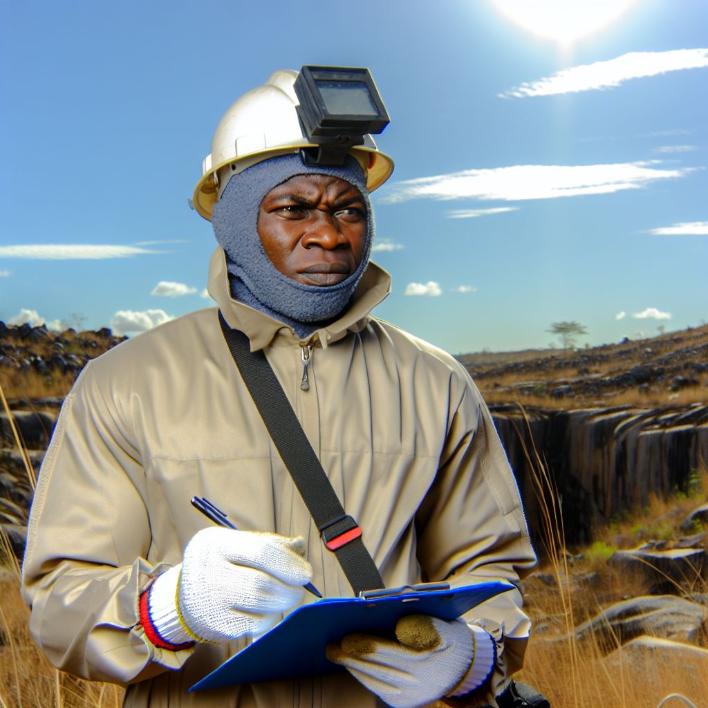
Geophysical methods are tools used to study the Earth’s subsurface by measuring variations in physical properties.
These methods are crucial in industries such as oil and gas exploration, mining, and environmental assessment.
In Nigeria, geophysical methods are widely employed to explore for natural resources, assess geological hazards, and study groundwater resources.
Seismic Reflection Method
- Explanation of how seismic reflection method works
- Applications of seismic reflection method in Nigeria
- Examples of seismic reflection projects in Nigeria
Explanation of How Seismic Reflection Method Works
Seismic reflection method involves sending seismic waves into the ground and recording the reflected signals.
These signals bounce off different rock layers and formations, providing information about subsurface structures.
The time taken for the waves to return and the amplitude of the signals help in determining the properties of the subsurface.
By analyzing these data, geophysicists can create detailed images of the subsurface structures, such as faults, folds, and reservoirs.
Seismic reflection method is widely used in the oil and gas industry for exploration and reservoir characterization.
Applications of Seismic Reflection Method in Nigeria
In Nigeria, the seismic reflection method is extensively used for oil and gas exploration.
It helps in identifying potential hydrocarbon reservoirs beneath the Earth’s surface.
The method also aids in understanding the structural geology of the region and identifying potential drilling locations.
Moreover, seismic reflection surveys are used for urban planning and engineering projects to assess the stability of the subsurface.
Overall, the seismic reflection method plays a crucial role in the development of Nigeria’s energy resources and infrastructure.
Examples of Seismic Reflection Projects in Nigeria
One notable seismic reflection project in Nigeria is the Niger Delta Basin exploration.
It involves conducting extensive seismic surveys to map out the subsurface structures and identify oil-rich zones.
Another example is the Chad Basin exploration, where seismic reflection surveys are used to locate potential oil and gas reserves.
Additionally, seismic reflection projects are carried out in the Benue Trough to study the geological features and potential mineral deposits.
These projects demonstrate the importance of seismic reflection method in the exploration and exploitation of Nigeria’s natural resources.
Ground Penetrating Radar (GPR)
Ground Penetrating Radar (GPR) is a geophysical method that uses radar pulses to image the subsurface.
It works by transmitting high-frequency electromagnetic pulses into the ground and measuring the reflected signals.
GPR is commonly used in Nigeria for infrastructure assessment, road and bridge inspections, utility mapping, archaeological surveys, and geological investigations.
It is a versatile tool that provides high-resolution images of the subsurface without the need for excavation.
Despite its advantages, GPR also faces challenges in the Nigerian context.
One major limitation is the difficulty in interpreting GPR data in complex geologic settings like areas with high clay content or areas with significant groundwater.
Additionally, the cost of GPR equipment and the need for trained personnel can be barriers to its widespread use in Nigeria.
See Related Content: Key Materials Used in Nigerian Ship Building
Electrical Resistivity Method
Electrical resistivity method involves measuring the resistance of the subsurface to an electrical current.
This method is used in geophysical surveys to map geological structures, locate groundwater, and identify mineral deposits.
How electrical resistivity method is used in geophysical surveys
- Electrodes are placed in the ground to inject electrical current.
- The voltage difference is measured to determine the resistance of the subsurface.
- By analyzing the data, geoscientists can create resistivity maps of the subsurface.
Areas in Nigeria where electrical resistivity method is commonly used
- The method is commonly used in the Niger Delta region to search for hydrocarbons.
- It is also used in the Jos Plateau to locate mineral deposits such as tin and columbite.
- In the northern region, electrical resistivity is used to map groundwater resources.
Success stories of using electrical resistivity method in Nigerian projects
- In a recent project in the Niger Delta, the method helped discover a new oil field.
- In the Jos Plateau, mining companies have successfully located lucrative mineral deposits.
- Local communities in the northern region have benefited from the identification of clean water sources.
Uncover the Details: Top Schools for Applied Math and Statistics in Nigeria
Magnetics Method
Overview of how magnetics method works.
Examples of magnetic surveys conducted in Nigeria.
Benefits of using magnetics method in geophysics in Nigeria.
How Magnetics Method Works
The magnetics method involves measuring variations in the Earth’s magnetic field to map subsurface structures.
By detecting changes in magnetic field strength, geophysicists can identify geological features such as mineral deposits or faults.
This method relies on the concept that different rock types and formations have varying magnetic properties.
Examples of Magnetic Surveys in Nigeria
One example of a magnetic survey conducted in Nigeria is the exploration for nickel-copper sulfide mineralization in parts of the country.
Another example is the mapping of basement structures in the Niger Delta region using magnetic surveys.
These surveys have helped in identifying potential mineral resources and understanding geological formations in Nigeria.
Benefits of Using Magnetics Method in Geophysics in Nigeria
The magnetics method offers several advantages in geophysical exploration in Nigeria.
It is a cost-effective and non-invasive way to study the subsurface compared to other methods.
Transform Your Career with Expert Guidance
Get personalized mentorship consulting that’s tailored to your unique path. Our expert advice is actionable and exclusive.
Get StartedThis method can cover large areas quickly, making it ideal for regional geological mapping in Nigeria.
Additionally, the magnetics method can provide valuable information for mineral exploration and environmental studies.
See Related Content: Applied Math Internships and Job Placements in Nigeria

Gravity Method
The gravity method is a geophysical technique used in surveys to measure the distribution of mass in the subsurface.
This method provides valuable insights into geological structures and potential resources.
Explanation of how gravity method is applied in geophysical surveys
The gravity method involves measuring the gravitational acceleration at various points on the Earth’s surface.
Variations in the measured gravity values are indicative of changes in subsurface density.
This allows geoscientists to map out potential geological features such as faults, folds, and mineral deposits.
Gravity surveys typically involve the use of a gravimeter, a highly sensitive instrument.
This instrument can detect small changes in gravitational force.
By measuring these variations across a survey area, geoscientists can create gravity anomaly maps.
These maps highlight areas of interest for further exploration.
Specific cases of gravity method applications in Nigeria
- In Nigeria, the gravity method has been widely used in the exploration for mineral resources such as gold, lead, zinc, and coal.
- Gravity surveys have been conducted in various regions of Nigeria to map out geological structures.
- One specific case is the use of gravity surveys in the Jos Plateau region, where the method has successfully identified mineralized zones and guided resource extraction activities.
Future potential of gravity method in geophysical exploration in Nigeria
The gravity method holds significant promise for the future of geophysical exploration in Nigeria.
It is particularly promising in the search for new mineral deposits and hydrocarbon resources.
With advancements in technology and data processing techniques, geoscientists can conduct more detailed surveys.
This leads to greater discoveries of valuable resources.
Furthermore, integrating gravity data with other geophysical methods such as magnetic surveys and seismic imaging can enhance understanding of the subsurface geology.
The gravity method continues to play a crucial role in geophysical exploration efforts in Nigeria.
Its future applications hold great potential for uncovering new resources and driving economic growth in the region.
Explore Further: Applied Chemistry Conferences and Workshops in Nigeria
Geophysical Methods in Nigeria
The main geophysical methods discussed in Nigeria include seismic surveys, gravimetry, magnetometry, and electrical resistivity.
These methods are essential for identifying mineral resources, groundwater, and mapping subsurface structures.
Geophysical methods significantly advance various industries in Nigeria.
Oil and gas exploration, mineral exploration, environmental studies, and civil engineering projects rely heavily on these methods.
There is a growing need for further exploration and research in geophysics in Nigeria.
By harnessing the power of geophysical methods, Nigeria can unlock its full potential.
This will drive sustainable development across various sectors.
Additional Resources
Review article on impact of groundwater contamination due to …
Review of Geoelectrical Methods in Geophysical Exploration …


